At the stage of engineering and geodetic surveys, the use of unmanned systems significantly reduces labour intensity and provides highly accurate data. Rapid data collection with the help of unmanned systems simplifies the work of designers, engineers and builders.
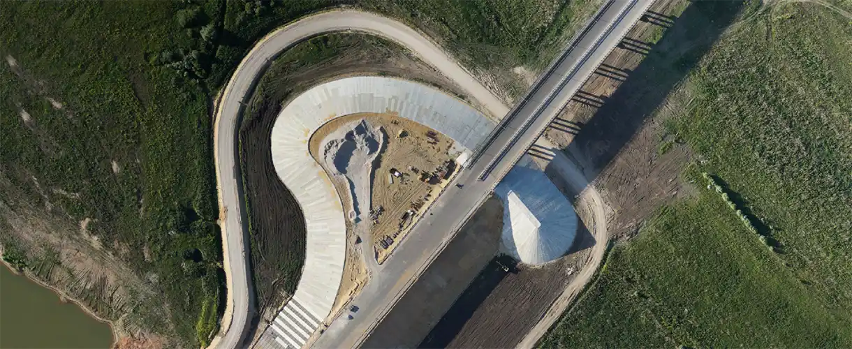
In the course of construction, air monitoring allows to control the quality of work, assess the volume of excavation work performed, and obtain accurate geometric parameters of erected structures.
Photorealistic 3D models of the environment allow for the harmonious integration of new buildings and the optimal location of utilities at the design stage.
Types of services:
- Geodetic support of construction works;
- Creation of an accurate orthophoto of the area;
- Creation of photorealistic 3D environment models for landscape studies during the design phase;
- Supervision of construction and repair works;
- Survey of buildings and structures;
- Estimation of building heat loss using thermal imaging.
Want to order aerial monitoring services or purchase a drone system?
Send us a formal enquiry to zapros@zala.aero
Or call the phones:
We will offer the best solution for your needs!


