ZALA drones explore the Arctic and Antarctic
The Arctic and Antarctic are unique areas in terms of climate, geography and mineral concentrations. They are valuable sources of scientific data that tell us about our planet's past, help scientists understand how climate is changing on a global scale, and make accurate predictions for the future.
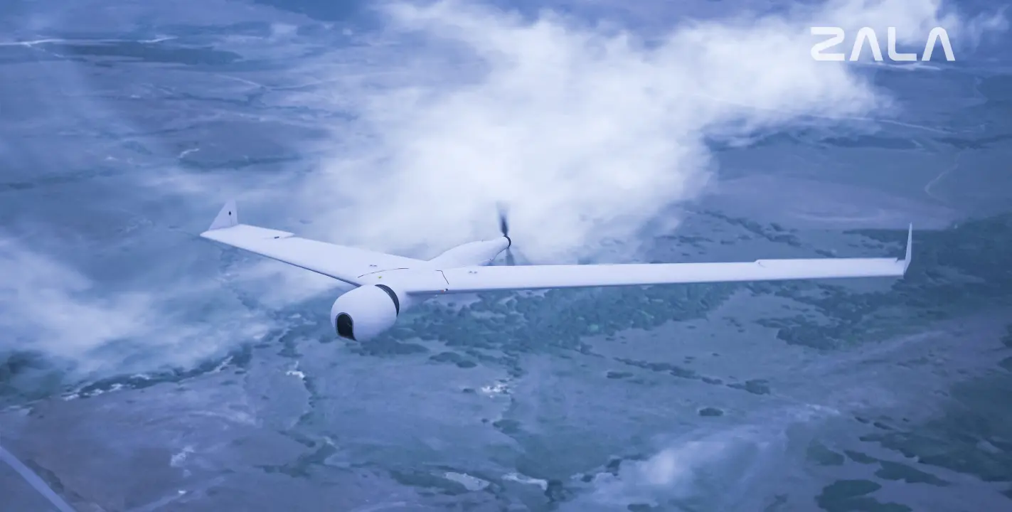
Until very recently, scientists used only ground-based equipment and satellite imagery. For a long time, it was believed that drones were not suitable for use in the polar zone: extreme cold damaged electronics, and storm winds tipped the aircraft over in flight. ZALA AERO has developed a special modification of unmanned systems for such conditions.
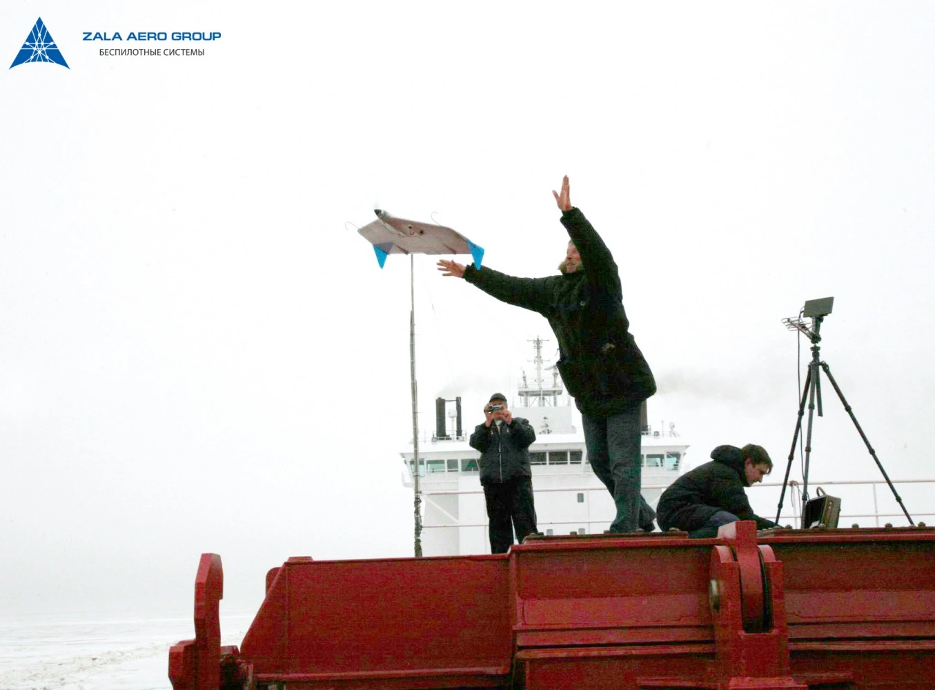
ARCTIC series unmanned aerial systems are resistant to frost up to - 50°C, wind up to 20 m/s, independent of satellite navigation systems, capable of landing on a ship or water surface. Intelligent algorithms allow to safely complete the flight task even in case of icing of the air pressure receiver.
ZALA ARCTIC HLVs successfully perform flights in the area of the North and South Poles, providing scientists and researchers with the necessary information. They have been an indispensable tool for geological data collection for several years.
In the Arctic, ZALA drones surveyed the coastline and conducted ice reconnaissance, based on the results of which analysts predicted the shifting ice fields. This data is essential for planning oil and gas production operations, as weather conditions in the Arctic change rapidly.
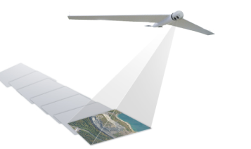
ZALA ARCTIC UAVs are currently accompanying the 65th Russian Antarctic Expedition. With the help of ZALA drones scientists perform high-precision aerial photography, conduct geological and ice reconnaissance, process images and create maps of the area.
