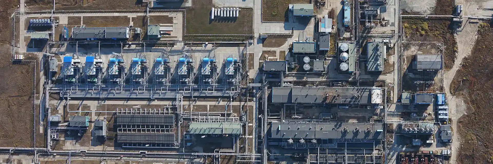
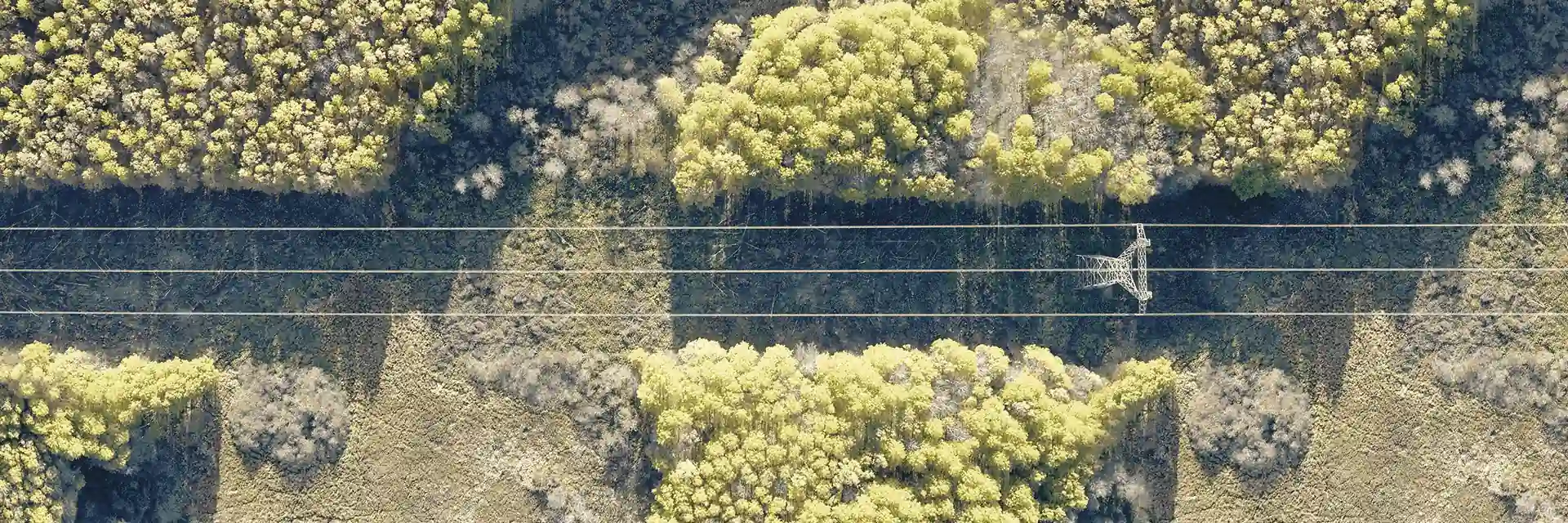
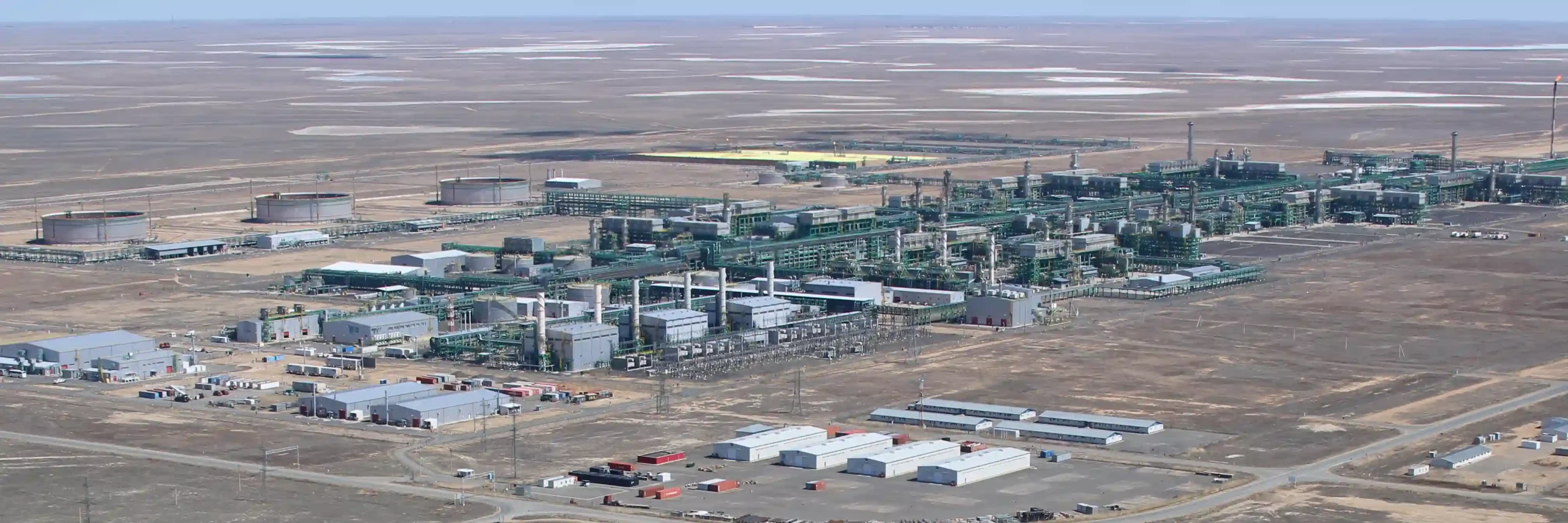
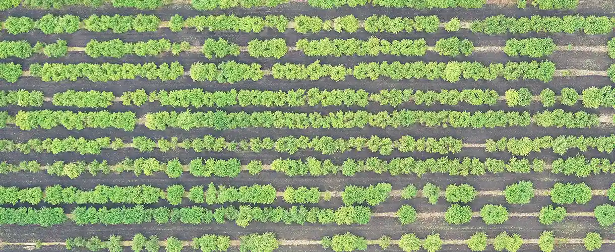
Land mapping and 3D modeling. Land survey and marking of boundaries. Support for construction and field development. Mining geodesy
Day and night patrolling of infrastructure. Detection of illegal activities in the guarded area. Environmental monitoring. Pipeline health assessment. Construction works control and employee and contractor vetting. Orthophoto mapping with resolution. Infrastructure inventory, boundaries specification. Support for geodetic works during field development. 3D modeling of objects and locations. Detection of gas leaks.