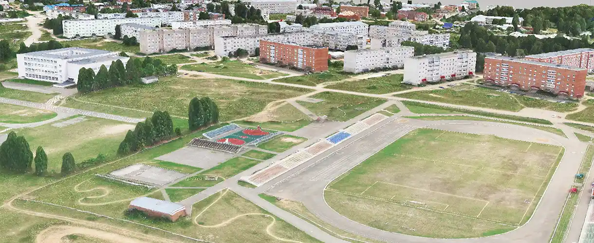
The main task of effective urban management is to create a comfortable urban environment, rationally distribute material resources and ensure the safety of urban life.
This requires extensive analyses of large baseline data on which to base management decisions.
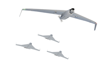
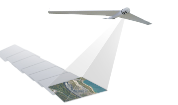
Unmanned systems are an effective tool for obtaining raw data for subsequent analysis and creation of cartographic material.
Types of services:
- Creating orthophotos with an accuracy of 2 cm per pixel;
- Construction of cartographic materials at a scale of up to 1:500;
- Creation of three-dimensional models of the urban environment;
- City Property Inventory;
- Control over the work of contractors, housing and utilities services;
- Creating a spatial framework for information portals;
- Airborne laser scanning of objects.
Want to order aerial monitoring services or purchase a drone system?
Send us a formal enquiry to zapros@zala.aero
Or call the phones:
We will offer the best solution for your needs!
