Precision farming is a management system that helps avoid unnecessary expenses and increase crop yields. The primary tool is the use of unmanned systems to collect objective data, enabling precise seeding and labor calculations, selective fertilizer application, and early pest detection.
Types of services:
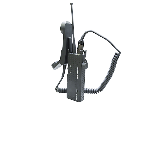
- Video monitoring, support and control of agricultural activities.
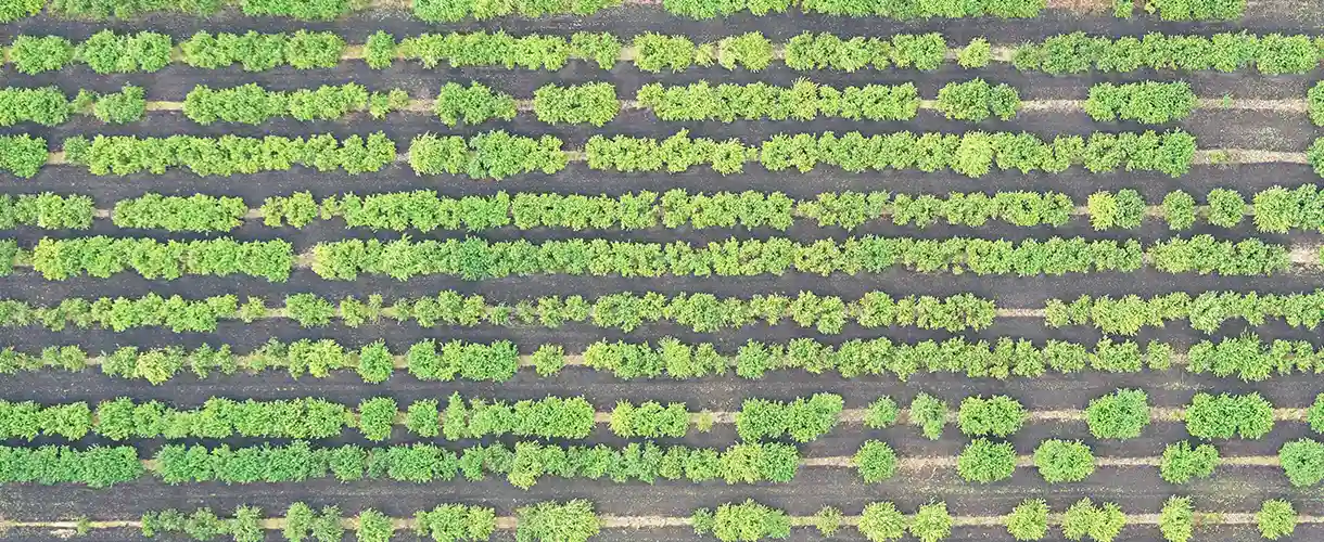
- Aerial photography and creation of orthophotosThis allows resources to be assessed, land inventories to be made, and materials to be calculated for any type of work.
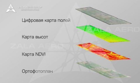
- Multispectral imaging and creation of maps of vegetation indices (NDVI, PVI, WDI, SAVI, LAI, etc.), which can be used to estimate the volume and growth of biomass, nitrogen and chlorophyll content in plant leaves, content and, in general, to assess the productivity of agricultural land.
- Creation of an elevation map and textured geo-referenced 3D terrain model to assess topography, slopes, calculate drainage-free areas and direct surface runoff.
- Creation of an electronic map of the field: map of the area with settlements, relief map, orthophotoplane, map of soil types.
- The visualisation of information makes it easier to analyse all conditions that affect yields, to monitor trends, to differentiate fertiliser application and to rationalise material inputs.
Want to order aerial monitoring services or purchase a drone system?
Send us a formal enquiry to zapros@zala.aero
Or call the phones:
We will offer the best solution for your needs!
Videos
VIDEO
ZALA AERO for agriculture