
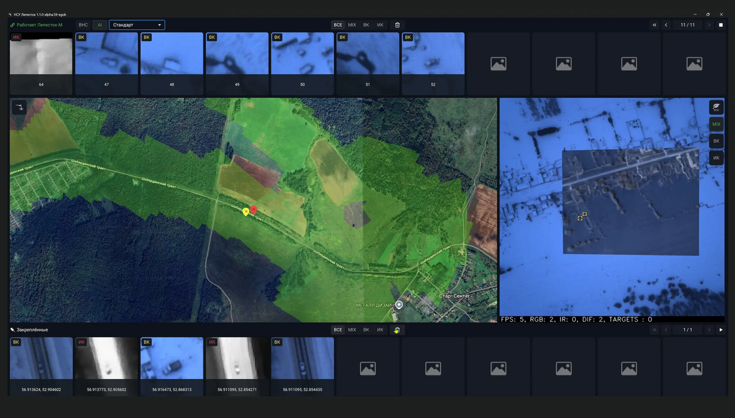
Navigation
Lepeystok-M includes the ability to use a visual navigation system.
Performing a flight mission according to a flight plan in the absence of CNS and with precision
at the GPS level.
Type of CNS
A separate CN with an industrial camera with a special lens, thermal imager and
with its own computing block.
Orthophoto plan
The stitching of orthophotos with thermal imaging data taken in
nighttime. Data retention from the video camera and thermal imager on board
in JPG format.
Work in two ranges
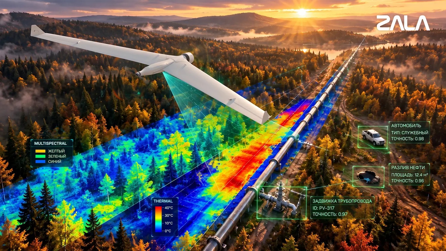
Simultaneous searching for objects using a video camera and thermal imaging at different altitudes
up to 500 m.
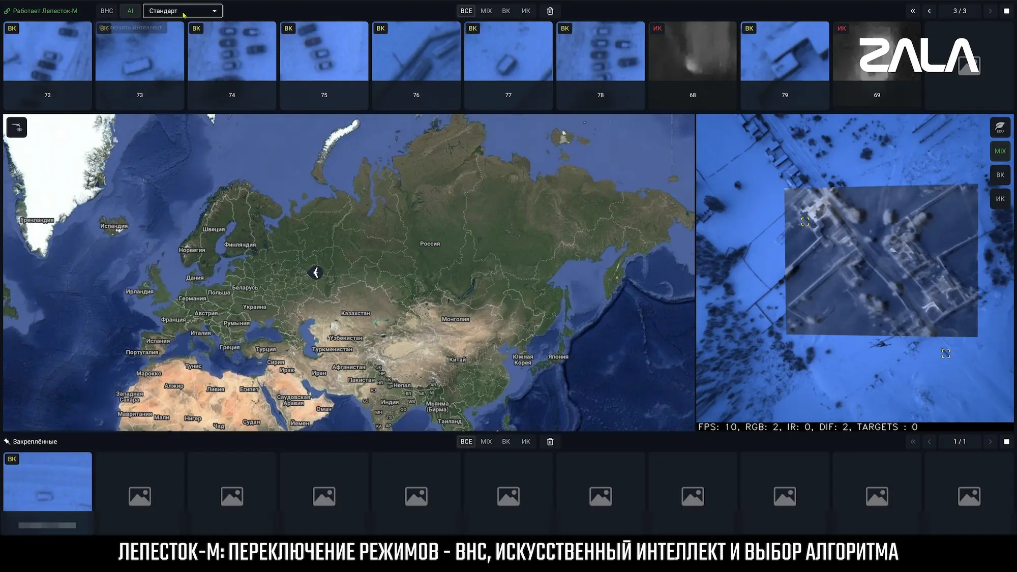
Artificial intelligence
Different neural networks for a specific task (switching during flight).

 Russian
 English