
Navigation
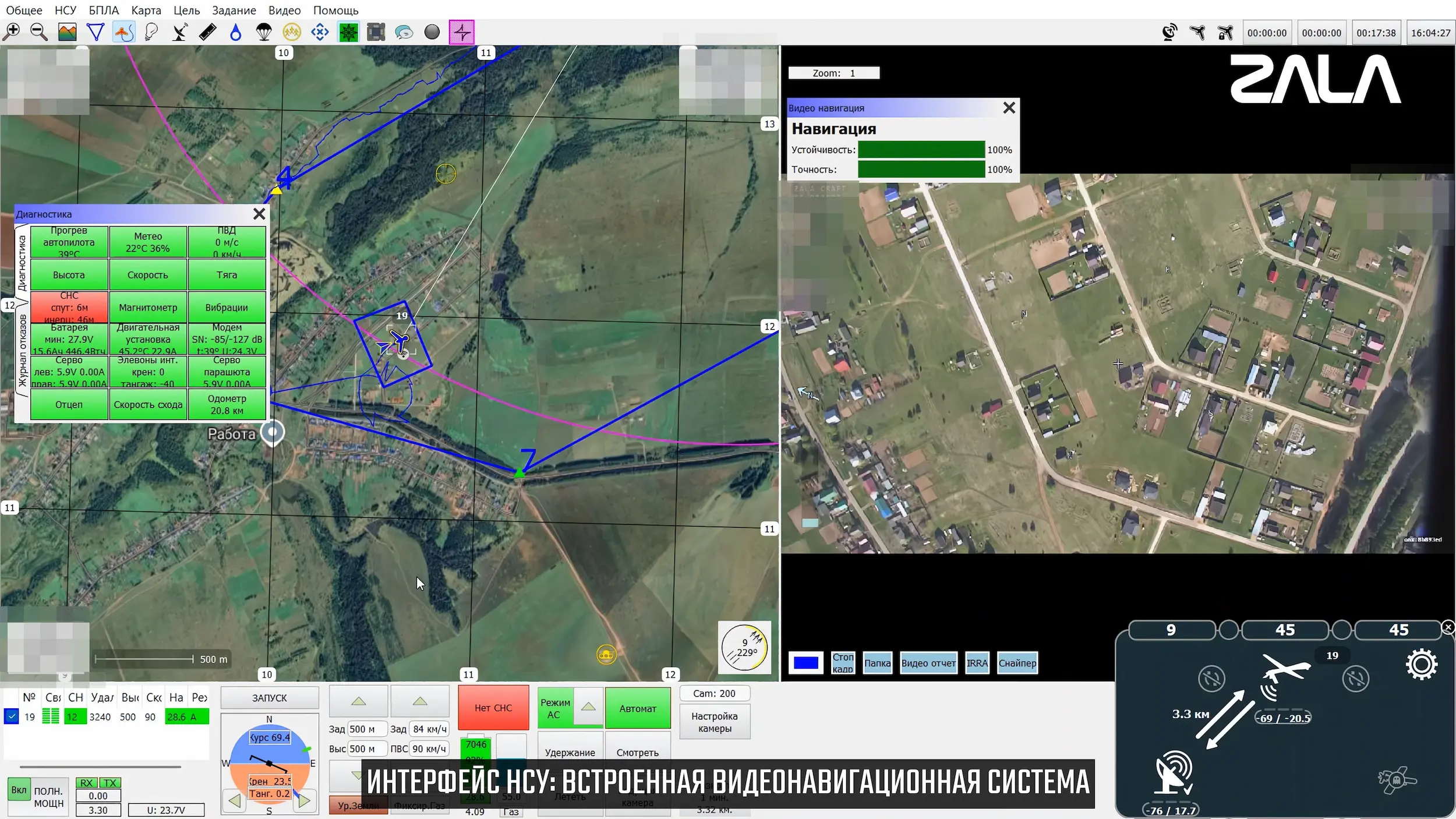
Lepeystok-F includes the ability to use a visual navigation system.
Performing a flight mission according to a flight plan in the absence of CNS and with precision
at the GPS level.
Type of CNS
A separate CN with a high-resolution camera (61 MP) and its own
a computational block.
Efficiency
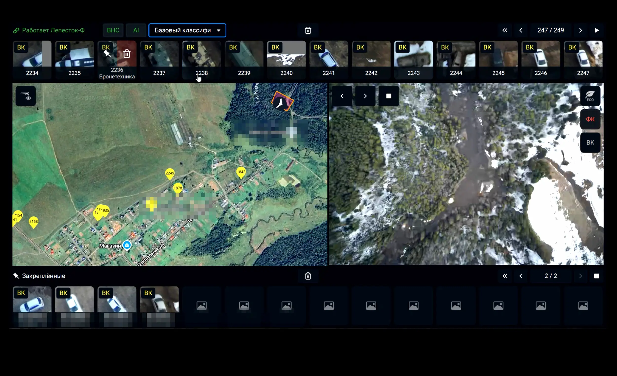
Simultaneous navigation (VN) and object detection.
Artificial intelligence
Different neural networks for a specific task (switching during flight).
Independence
The system has its own processor and does not burden the main flight controller.
or the standard BVS camera.
Instant result
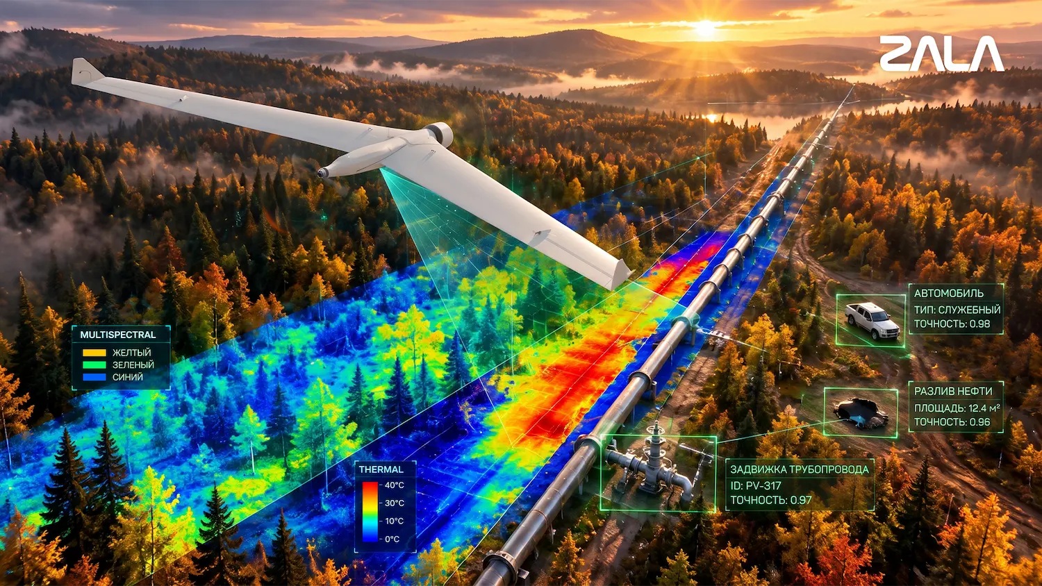
Detection and classification of targets at altitudes up to 1000 m directly on board.
Orthophoto plan
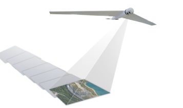
The stitching of photo plans from high-resolution photographs on board.

 Russian
 English