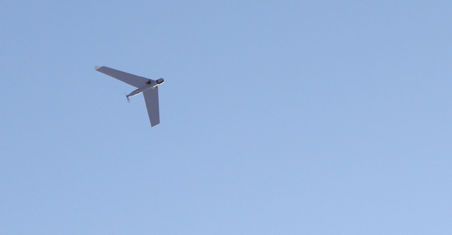
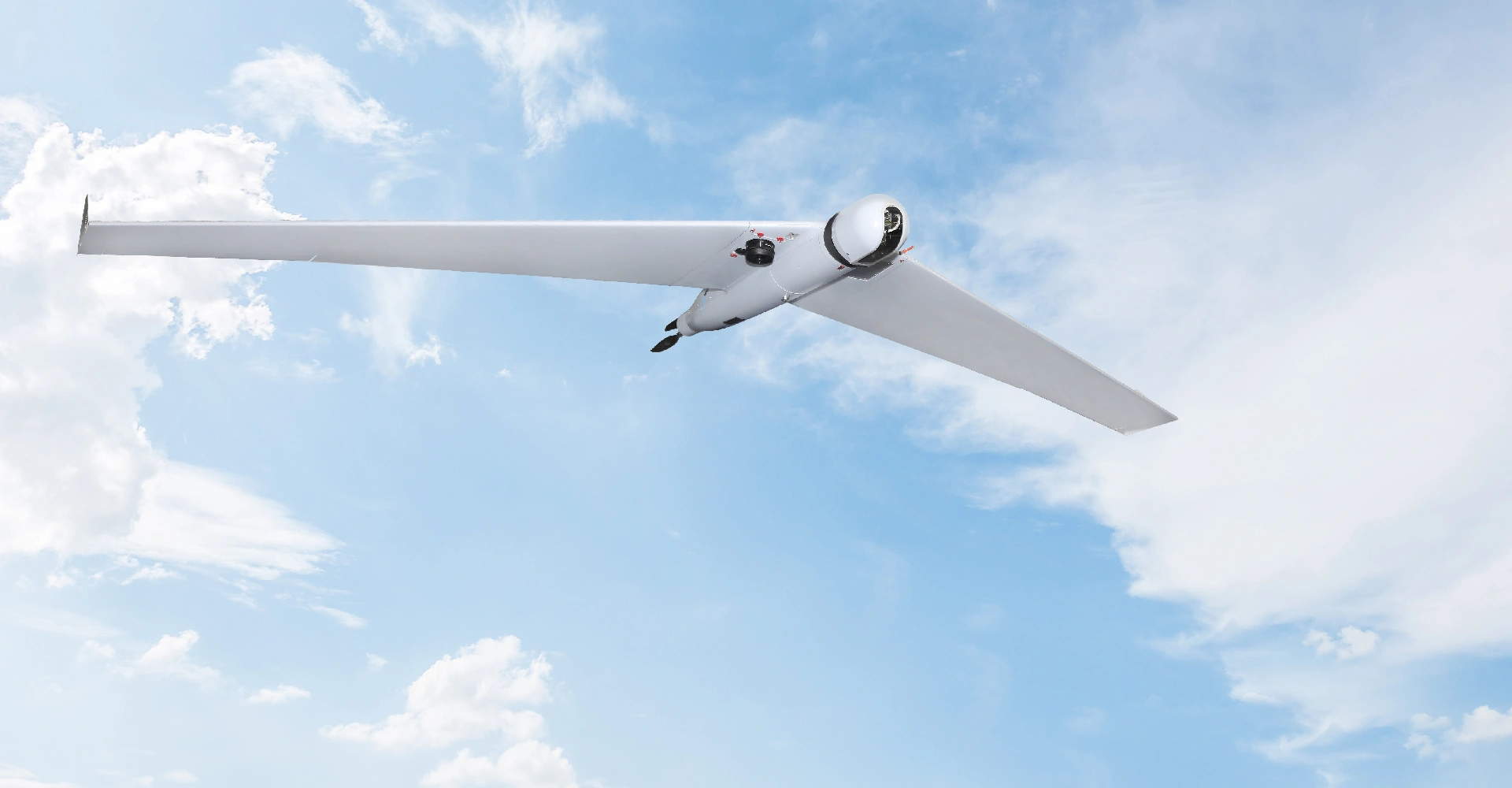
ZALA unmanned systems for geodetic works
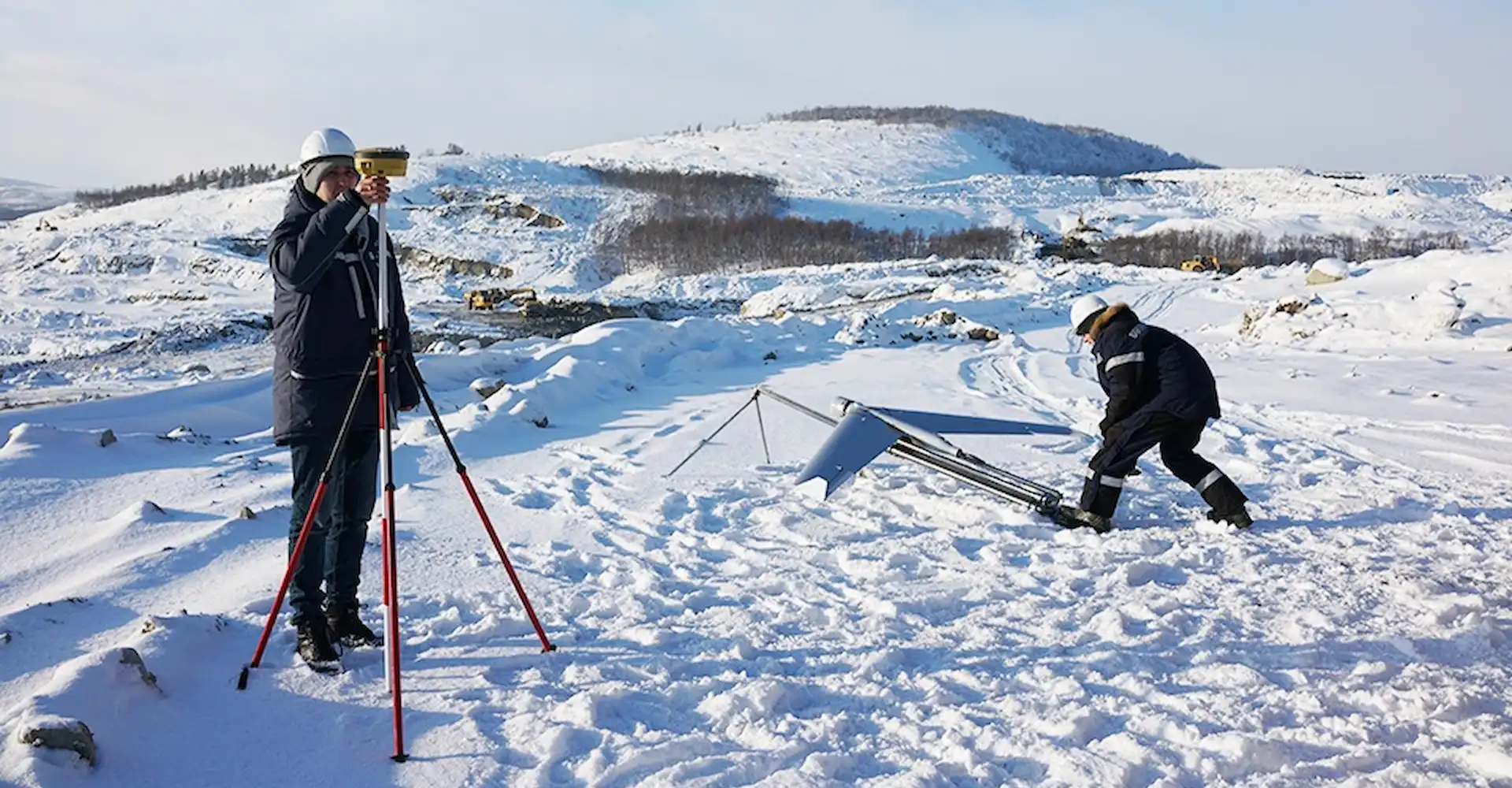
OOO NPP Izyskazhitel purchased an unmanned complex ZALA 421-16E to support engineering and geodetic surveys, land surveying and surveying works.
A camera with a resolution of 42 megapixels has been selected as the target load. The ZALA 421-16E unmanned aerial vehicle is equipped with onboard geodetic equipment, which ensures high accuracy of the UAV positioning during photography.
The use of ZALA unmanned systems in geodesy significantly reduces the amount of field work, increases the accuracy of the data obtained, and allows to control the progress of construction. In the end, it reduces the time and cost of topographic works, and with lower costs for field geodetic works allows to obtain orthophotomaps and digital terrain models to create digital topographic plans of large scales up to 1:500.