Maximum image detail: the new target load for aerial photography from ZALA AERO

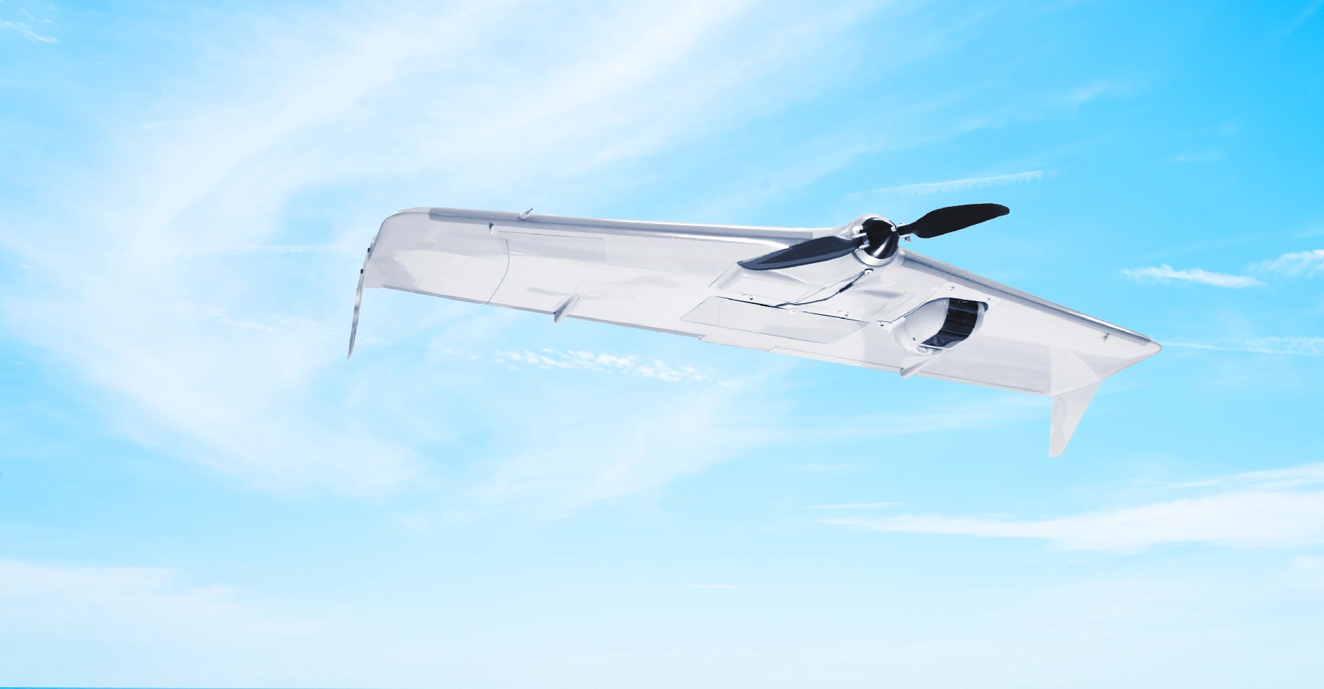
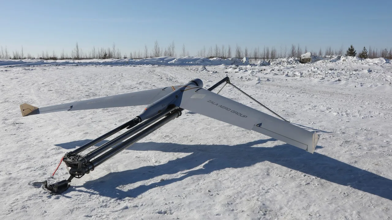
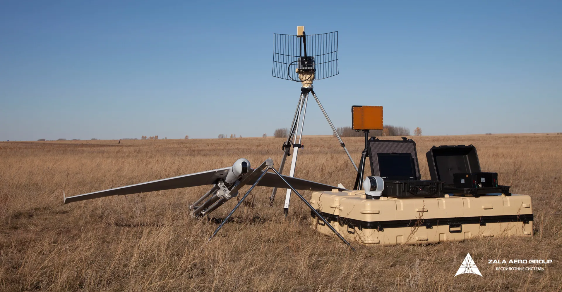
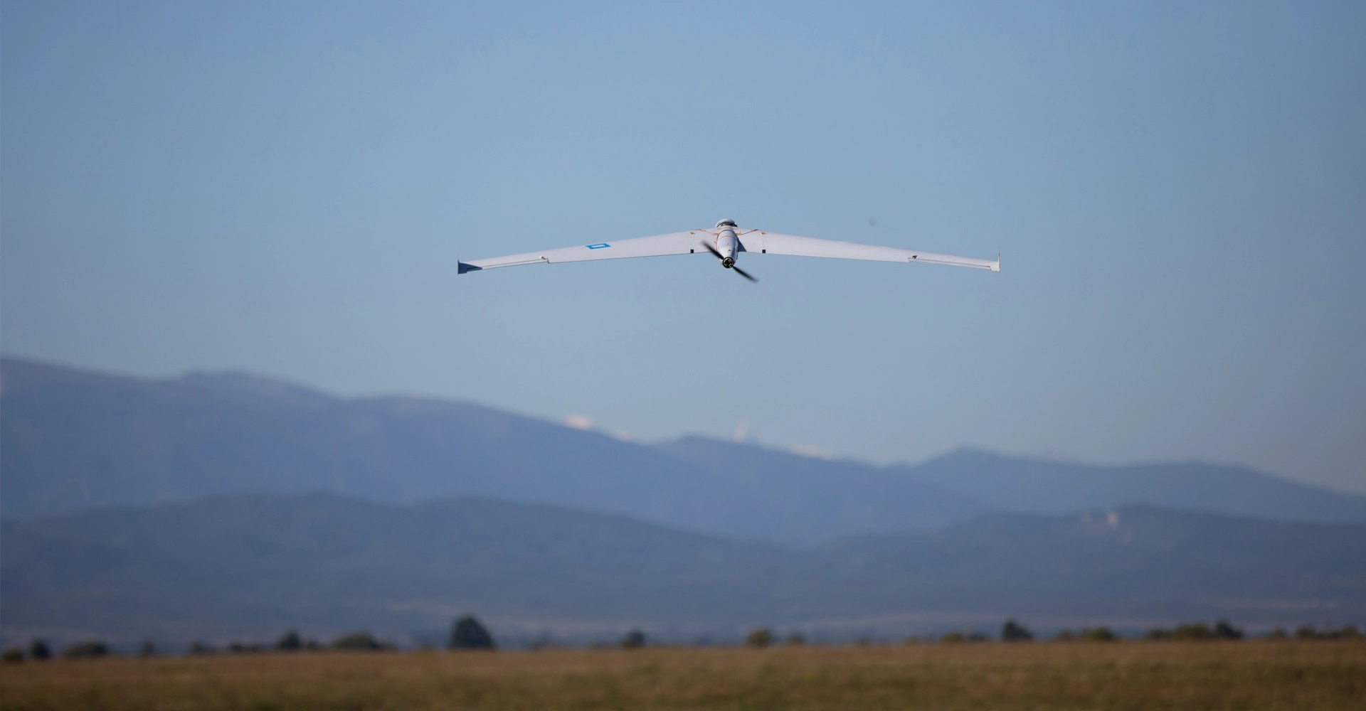
The payload capacity of ZALA's unmanned systems allows them to accommodate the most advanced equipment for remote sensing of the earth. One of the recent innovations is a target payload with a 61 megapixel camera with a full-size sensor, which takes the quality of aerial photography to a new level.
The new payload simultaneously increases the survey coverage and achieves better image quality. When surveying at the same altitude, higher image resolution yields a larger ground pixel size (GSD)—the size of the terrain represented by a single pixel. This, in turn, ensures highly accurate orthophotos and high point cloud density for subsequent 3D modeling.
Highly detailed images combined with precise positioning of each image allow accurate measurement of distances on orthophotos, volumes of three-dimensional models.