ZALA AERO performed aerial photography for JSC Chechengazprom
For the second year already, ZALA AERO has been performing high-precision aerial photography of the gas transmission infrastructure for JSC Chechengazprom. The work is carried out as part of routine monitoring of the main gas pipeline to identify functional inconsistencies and violations of protection zones, and to clarify cadastral plans.
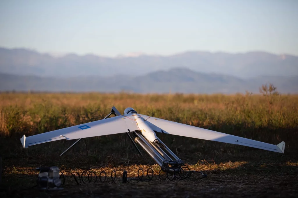
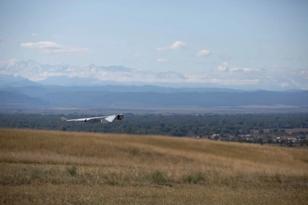
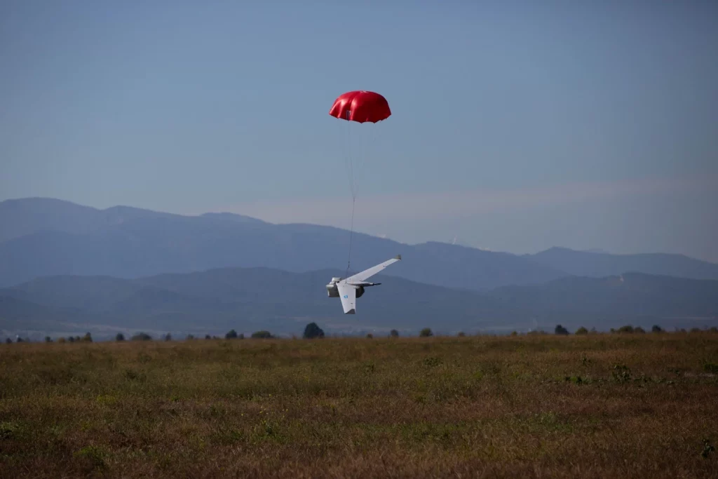
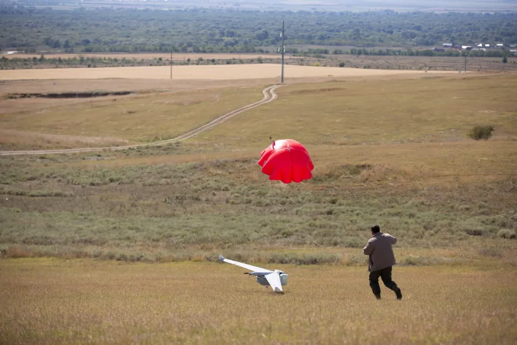
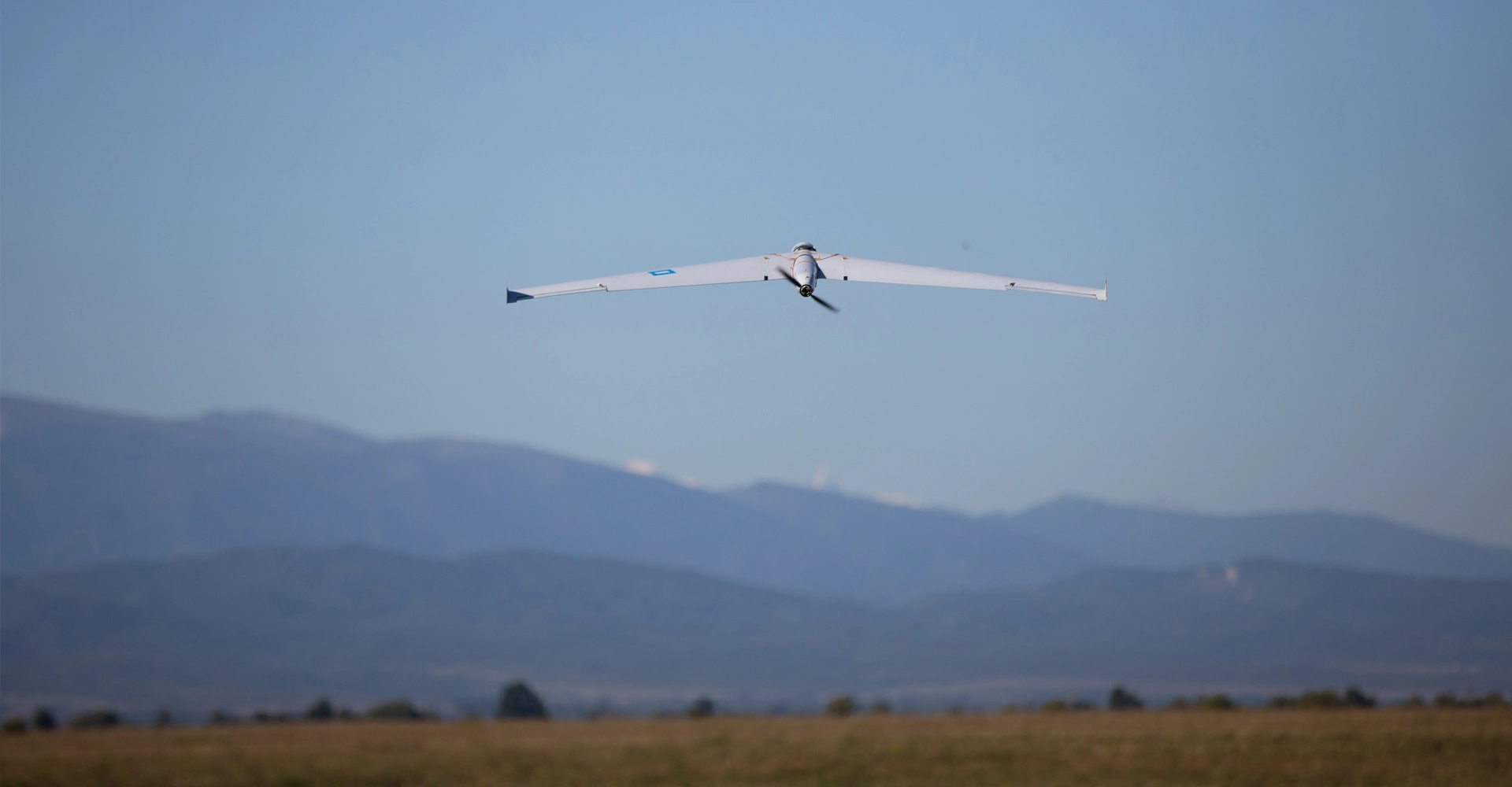
This time the flights were conducted with the help of the ZALA 421-16E unmanned system with a high-resolution camera. The ZALA flight team together with geodesy and cartography specialists surveyed 733.92 km of the pipeline and took more than 300 thousand photos.
At this site, the specialists tested a new monitoring technology, which improved the accuracy of the obtained photos. At present, the data are being cameralised and the reporting materials will be submitted to the customer in the near future.