ZALA BAS capabilities for the study of historical heritage

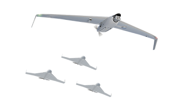
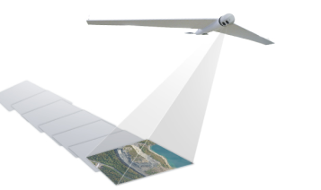
Modern archaeologists actively use unmanned aerial systems to search for traces of ancient civilisations and explore historical sites. This method allows scientists to comprehensively assess the totality and interconnection of large-scale archaeological monuments, including those hidden under a layer of soil and vegetation. In addition, thanks to the aerial images obtained from UAVs, they can obtain a digital terrain model of the site under study, thereby recording for posterity the state of the endangered monument. Aerial surveys with the help of unmanned aircraft systems ZALA helped scientists from South America to assess the accuracy of the construction of the famous geoglyphs on the Nazca Plateau in Peru. These are giant stylised drawings of animals, birds, insects and abstract patterns that can only be seen from high altitudes. All of them were created by hand with primitive tools in the IV - II centuries BC. According to researchers, on the plateau, stretching for tens of kilometres, today about 143 ancient drawings are known, as well as about 13 thousand lines and stripes and about 700 geometric figures. It should be noted that the Nazca Plateau is currently included in the UNESCO World Heritage List.


