ZALA AERO GROUP performs a range of works in the interests of Slavneft-Krasnoyarskneftegaz LLC
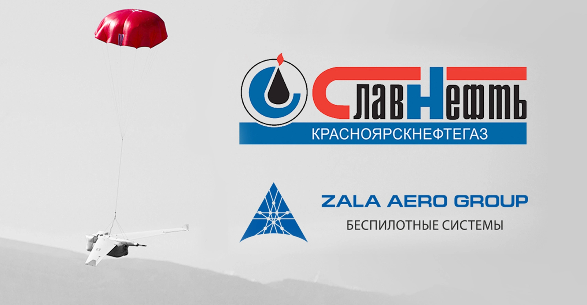
ZALA AERO GROUP performed aerial laser scanning and digital aerial photography of the earth surface over the territory of the Kuyumbinskoye field of Slavneft-Krasnoyarskneftegaz LLC in the 2020 aerial survey season.
Remote sensing of the earth using a high-precision airborne laser scanner and professional aerial survey equipment was carried out to create digital orthophotomaps of 1:2000 scale and digital topographic plans of 1:2000 scale for the production needs of the oil company.
The accuracy of aerial laser scanning and digital aerial photography was ensured through the use of Global Navigation Satellite System (GNSS) receivers and base stations, as well as an Inertial Measurement Unit (IMU). The aerial survey received full geodetic support in the form of plan and elevation support from points of the state geodetic network (GGS).
At the moment the obtained laser reflection points, aerial photographs and satellite and inertial system measurements are in the ZALA AERO desktop processing group. Upon completion of processing, orthophotomaps, topographic plans, digital elevation models will be created and a full technical report on the work done will be provided.
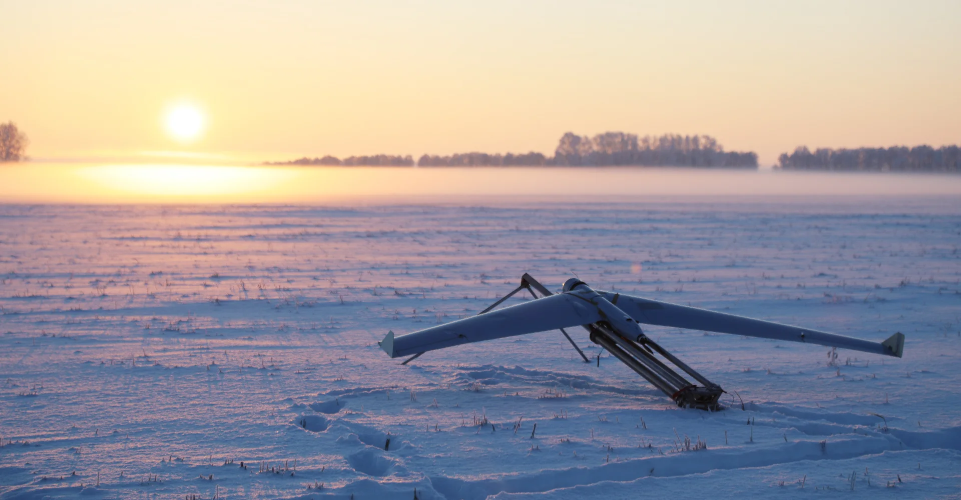
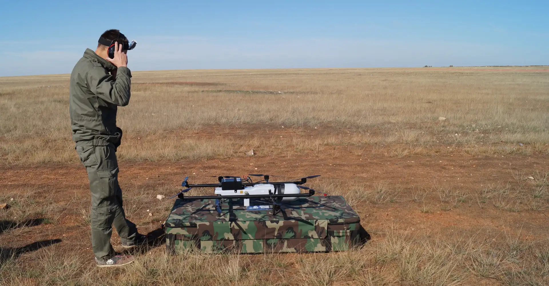
The laser scanning technology used by ZALA AERO allows the automation of 3D data acquisition at high speed. The system is an ideal way to obtain highly accurate geo-referenced data about the object of study, and finds its application in the gas, oil and other industries.