


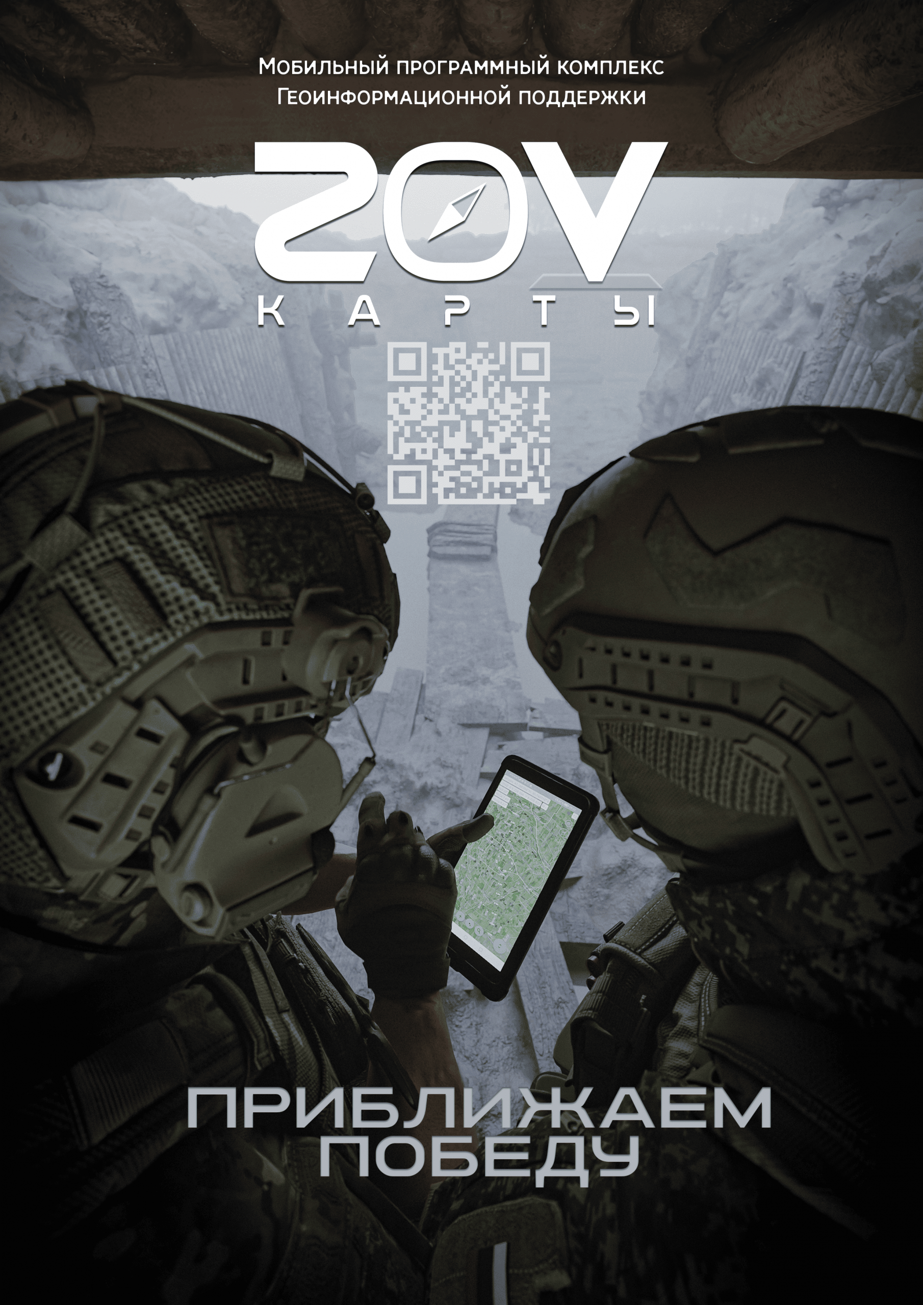
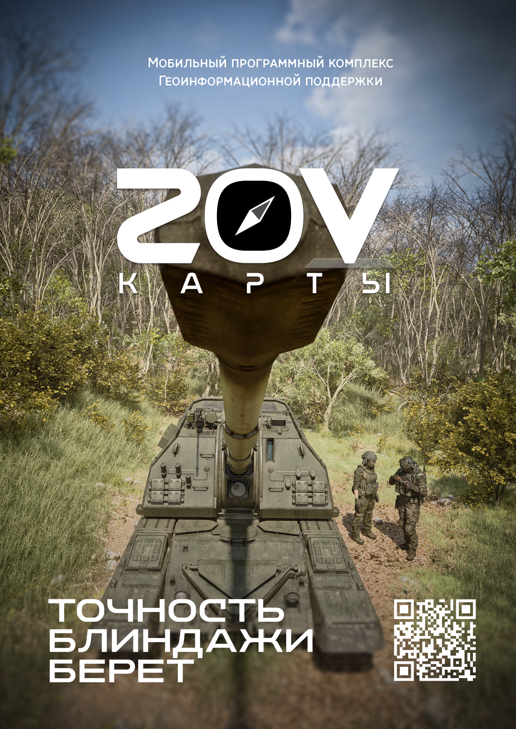
Appointment
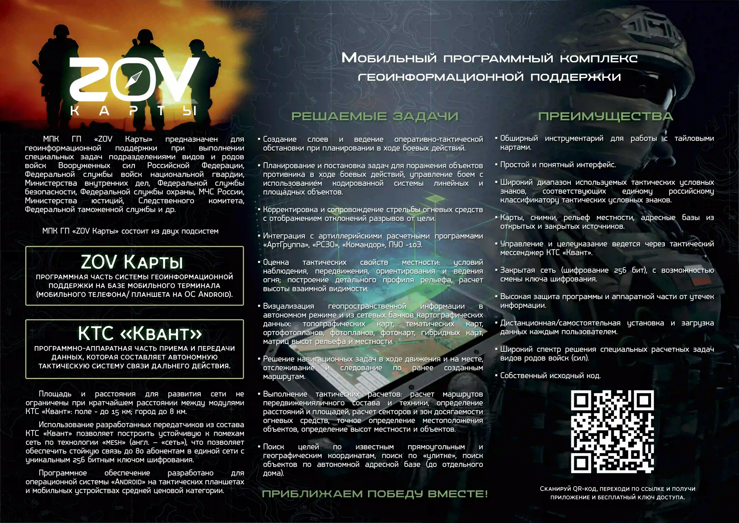
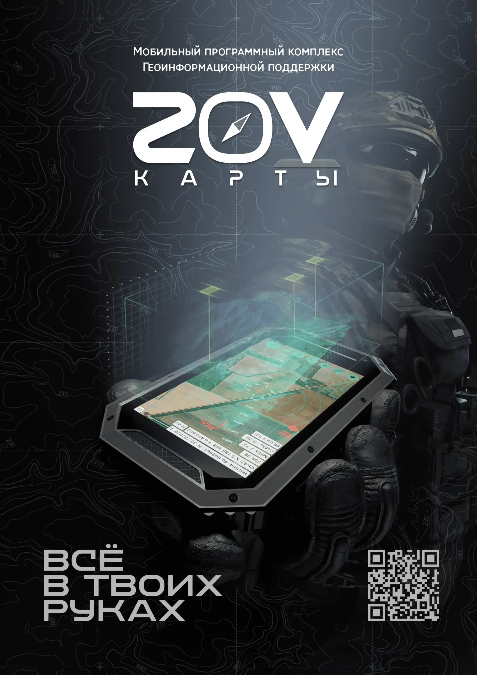
It is designed for navigation, management of field groups, and replacement.
foreign cartographic services when performing monitoring work.
Import substitution
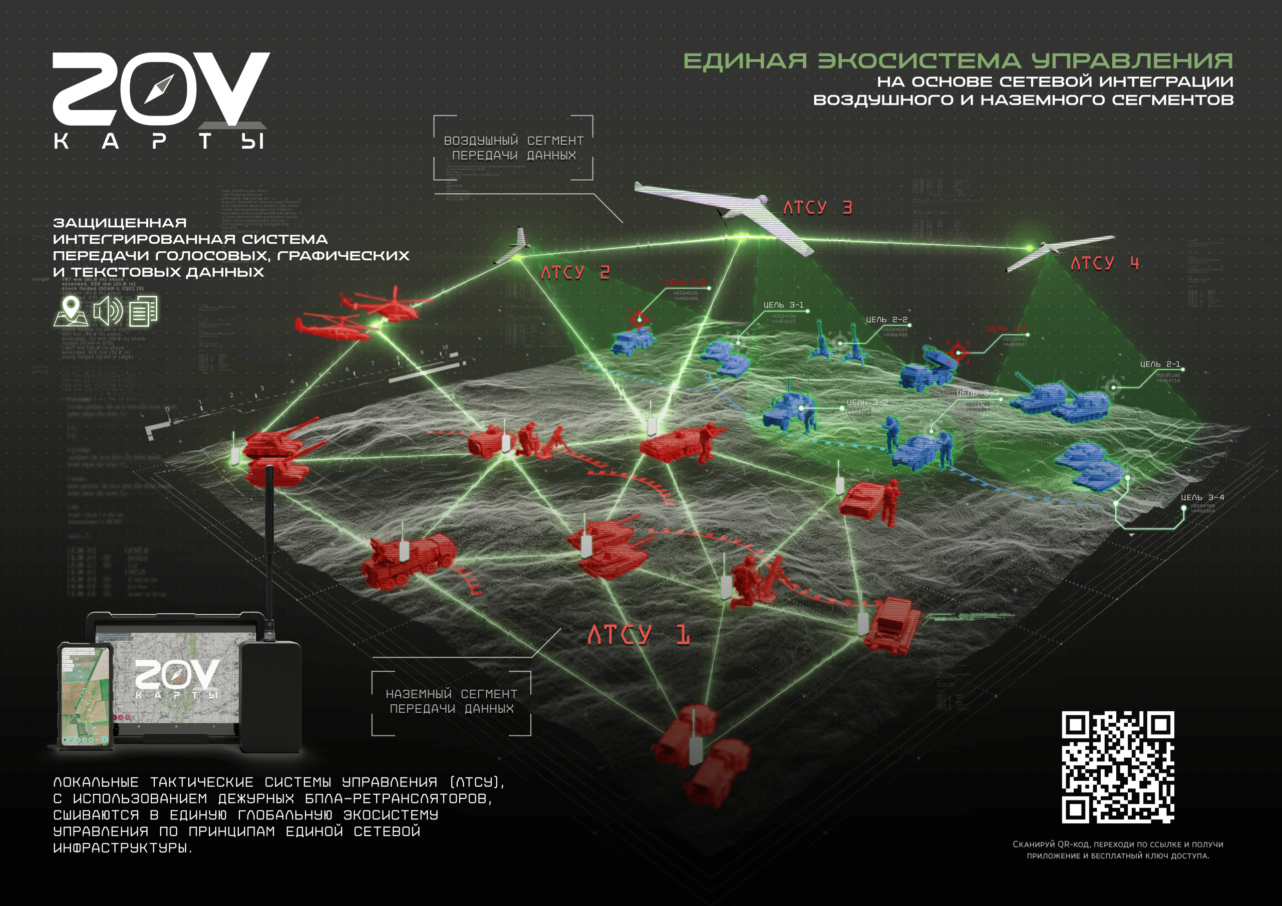
The application uses a decentralized mesh network and closes all key gaps.
Scenarios for foreign solutions — offline maps, tracking, navigation, working without connection to the internet
server.
Key advantage
Deep integration with the ZALA 4Z1x digital platform ensures synchronization
data between the field and the situational center in real time,
Centralized management of tasks and routes, automatic transmission
geodata, working with maps and tags for multiple users, and
also the connection of external sources.
The tasks to be solved
Planning and setting tasks for monitoring of facilities. Monitoring management with
using a coded system of linear and spatial objects.
Ease of use
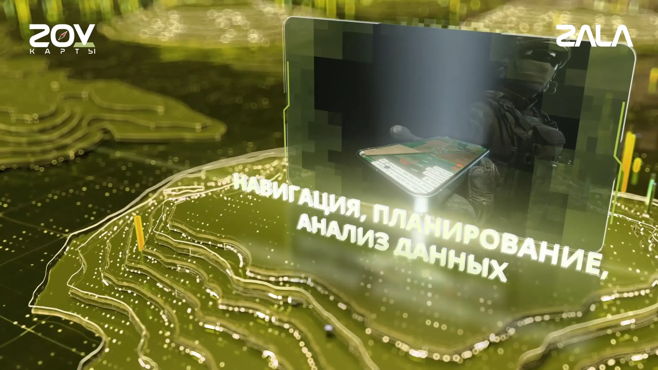
Simple and intuitive interface, extensive toolkit for working with tiles
Maps, self-installation, and data loading by each user.

 Russian
 English