«ZOV Maps» for rescue workers: ZALA specialists showcased the capabilities of the Ministry of Emergency Situations’ system
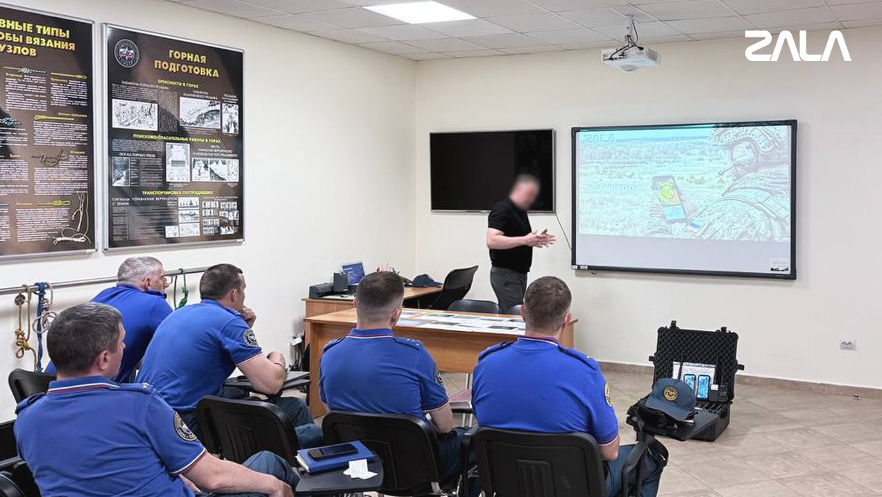
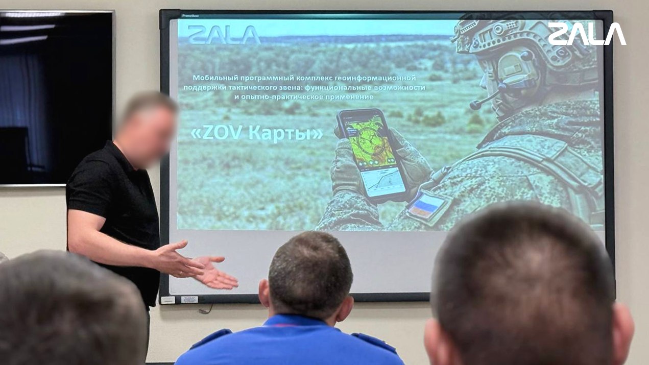
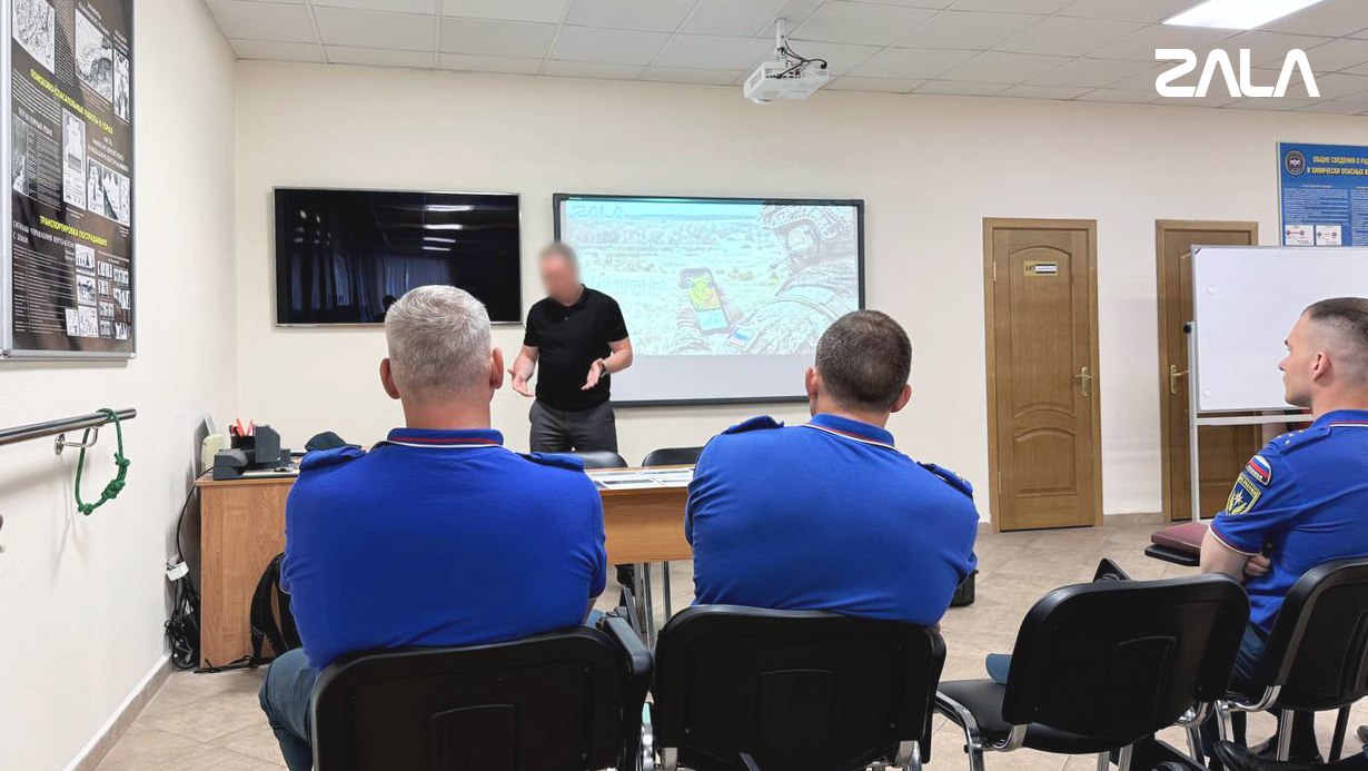
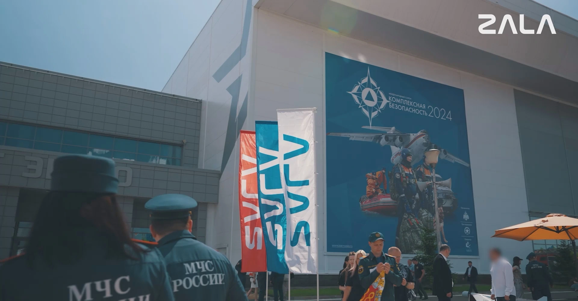
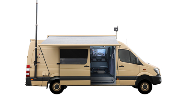
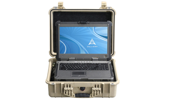
At the «Leader» Centre of the Russian Ministry of Emergency Situations, specialists from ZALA conducted a training session on the «ZOV Maps» mobile geoinformation system — an integral part of the company’s unified digital ecosystem. When used in conjunction with the secure «Kvant» messaging app and ZALA’s BVS, the system enables the deployment of a self-contained digital environment for monitoring, coordination and data exchange within minutes, even in the complete absence of mobile network coverage.
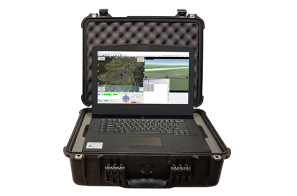
«ZOV Cards» — a fully domestic development, operating offline. The application builds a unified information space for user interaction, providing situational awareness: the positions of calculations, dangerous zones and tasks are displayed on a common map. Information exchange takes place through the «Kvant» messenger, integrated with DMR radios: voice communication is supplemented by the transmission of text, coordinates, and files, which turns a wearable radio into a multifunctional terminal.
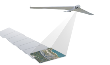
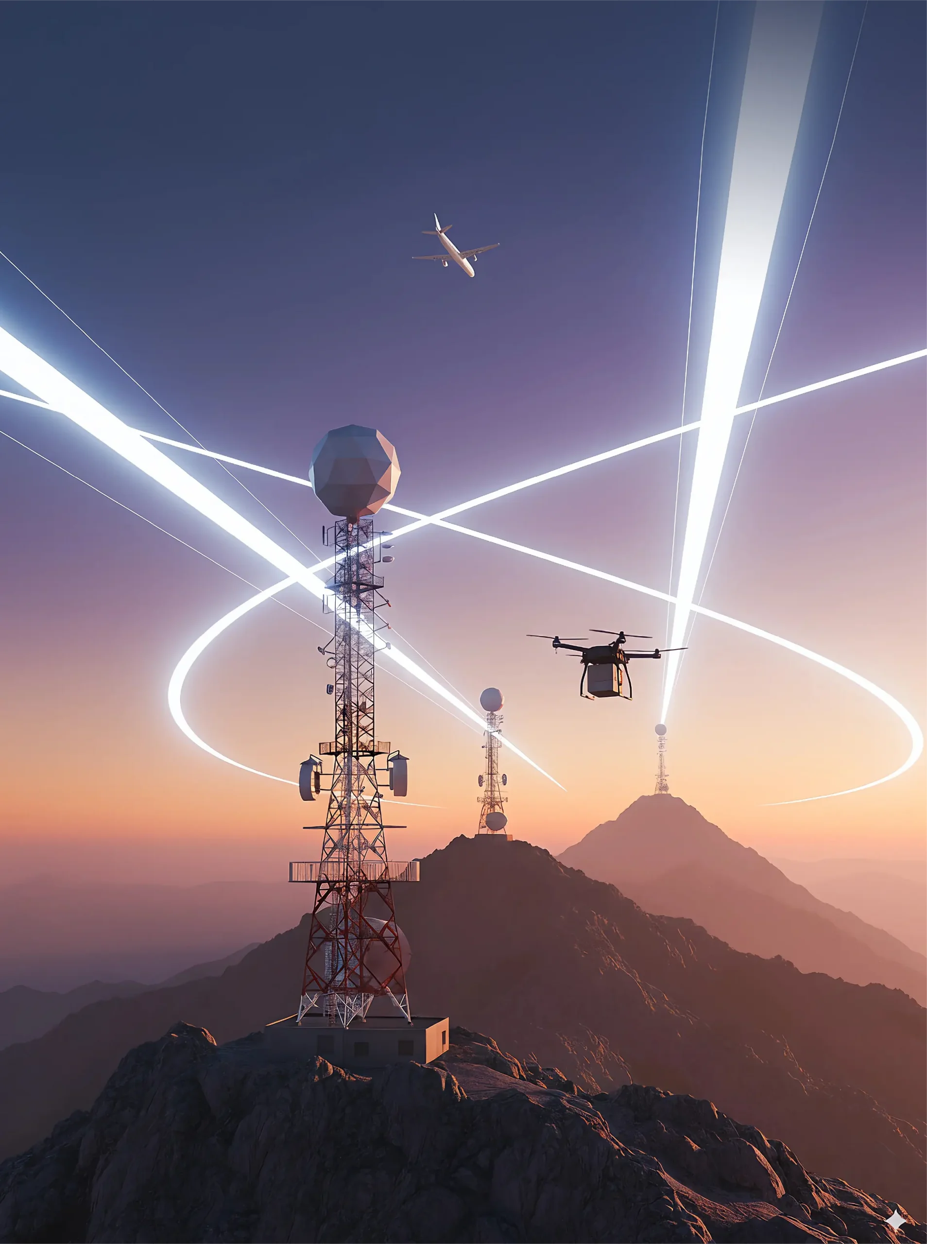
A key element in extending coverage is the ZALA BVS with a built-in repeater. Once airborne, the UAV creates a unified mesh network in which every device – whether a UAV, radio station or tablet – acts as both a client and a repeater. A single device is sufficient to provide stable communication over a range of up to 50 km, and if a ground-based node fails, the route is automatically rerouted. The technology addresses one of the most pressing challenges in the aftermath of earthquakes, floods or industrial accidents – the information vacuum during the first few hours of an operation. Now, the head of firefighting or search and rescue operations can see the full picture on their digital map, issuing instructions via text commands without fear of interference or radio spectrum congestion.




 Russian
  English