Geodetic aerial photography for JSC Sakhatransneftegaz
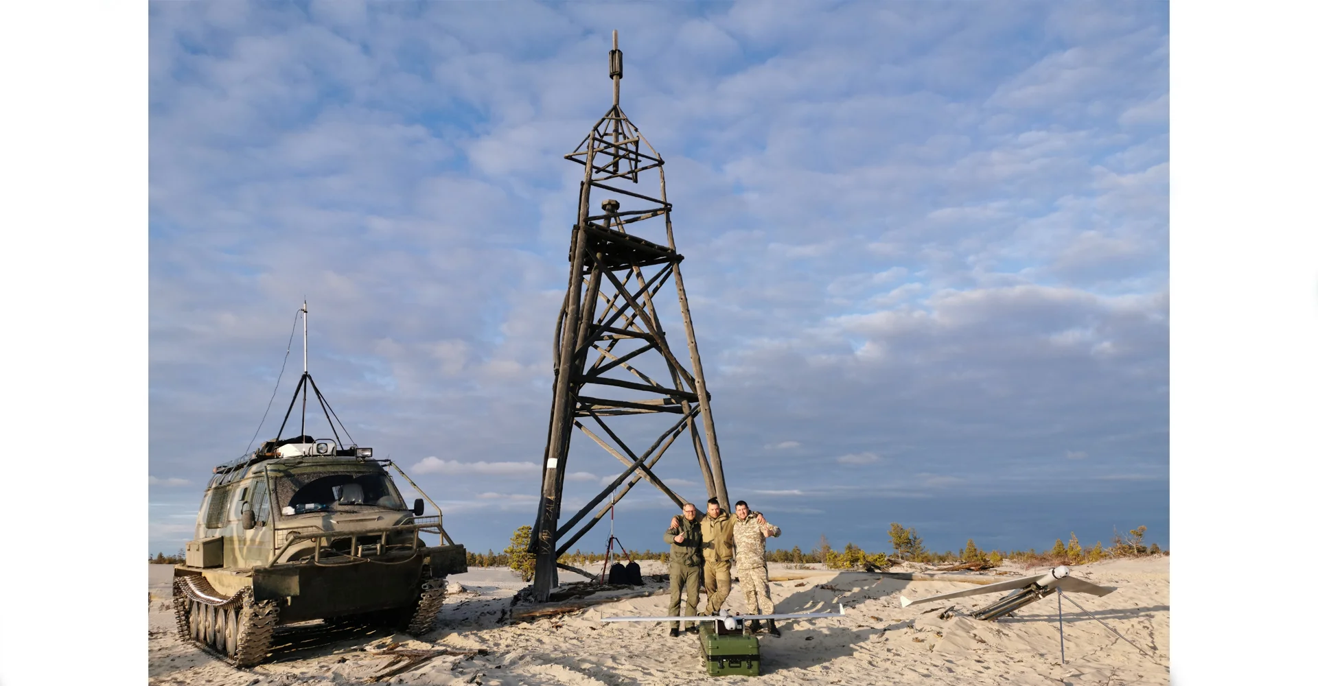
ZALA AERO specialists completed work under a contract with Sakhatransneftegaz JSC, which included aerial photography of the oil and gas company's infrastructure.
The purpose of the works is to inspect the condition of the main pipeline with a total length of more than 300 km, assess the condition of crane units and pumping stations, and the presence of vegetation in the zone of minimum distances.
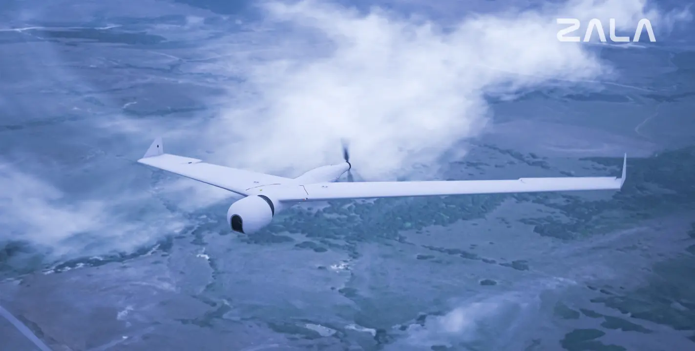
Aerial photography was carried out by a ZALA 421-16E geodetic aircraft with a high-resolution camera. The lack of infrastructure and difficult conditions of the Yakutian taiga did not affect the timing of the work, the ZALA flight team successfully coped with the task. The photographic materials are being processed and will be delivered to the customer in the near future.