ZALA AERO specialists have created an orthophotomap and 3D model of the city of Tomsk
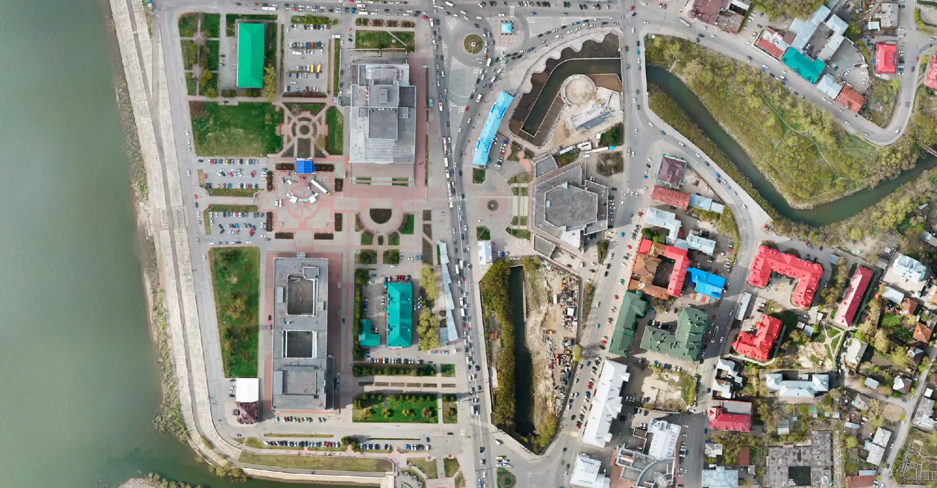
The geodesy and cartography service of ZALA AERO completed processing of aerial photography of Tomsk. Tomsk. Detailed orthophotomaps and high-precision three-dimensional models were handed over to the Department of Architecture and Construction of the city administration.
Now the aerial photography materials are available to everyone on the portal "Town-planning atlas of Tomsk". The detailed map of the city has 2D and 3D modes, contains several thematic layers with geo-referencing. The visual representation of the city map allows the authorities to see the state of the territory, roads, to carry out cadastral analysis. It is convenient for tourists and citizens to build a travelling route, find a certain address.
Digitalisation of urban economy is the main trend in the development of modern megacities. Aerial photography from drones is the optimal way to collect geospatial data, on the basis of which new services and technologies are created within the Smart City project.