Airborne laser scanning and digital aerial photography at Slavneft-Krasnoyarskneftegaz facilities
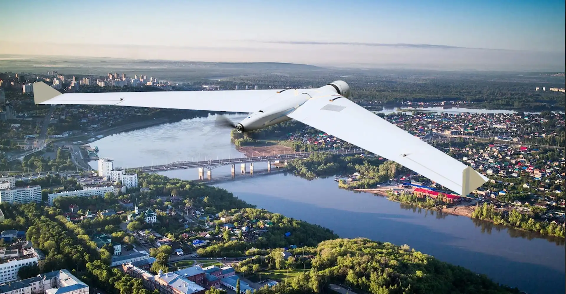
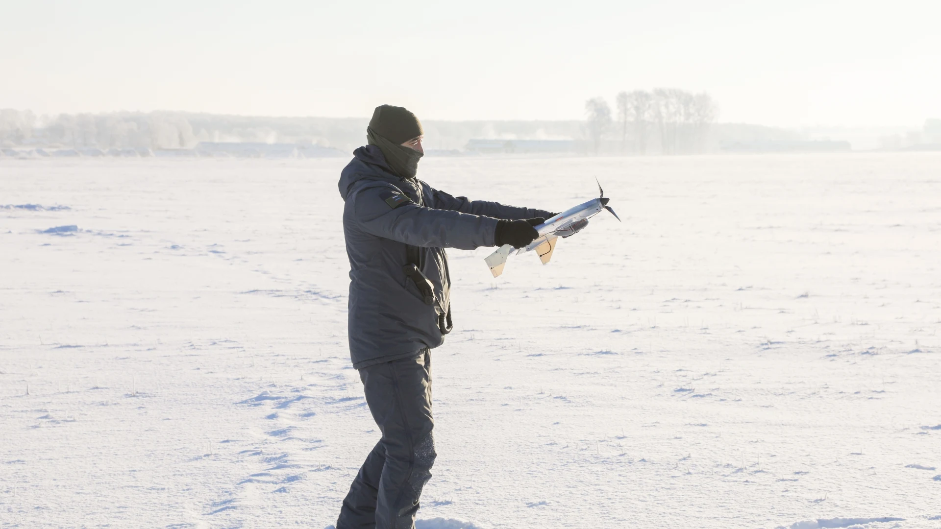
ZALA AERO flight crews performed airborne laser scanning and digital aerial photography of the earth surface at the facilities of Slavneft-Krasnoyarskneftegaz LLC.
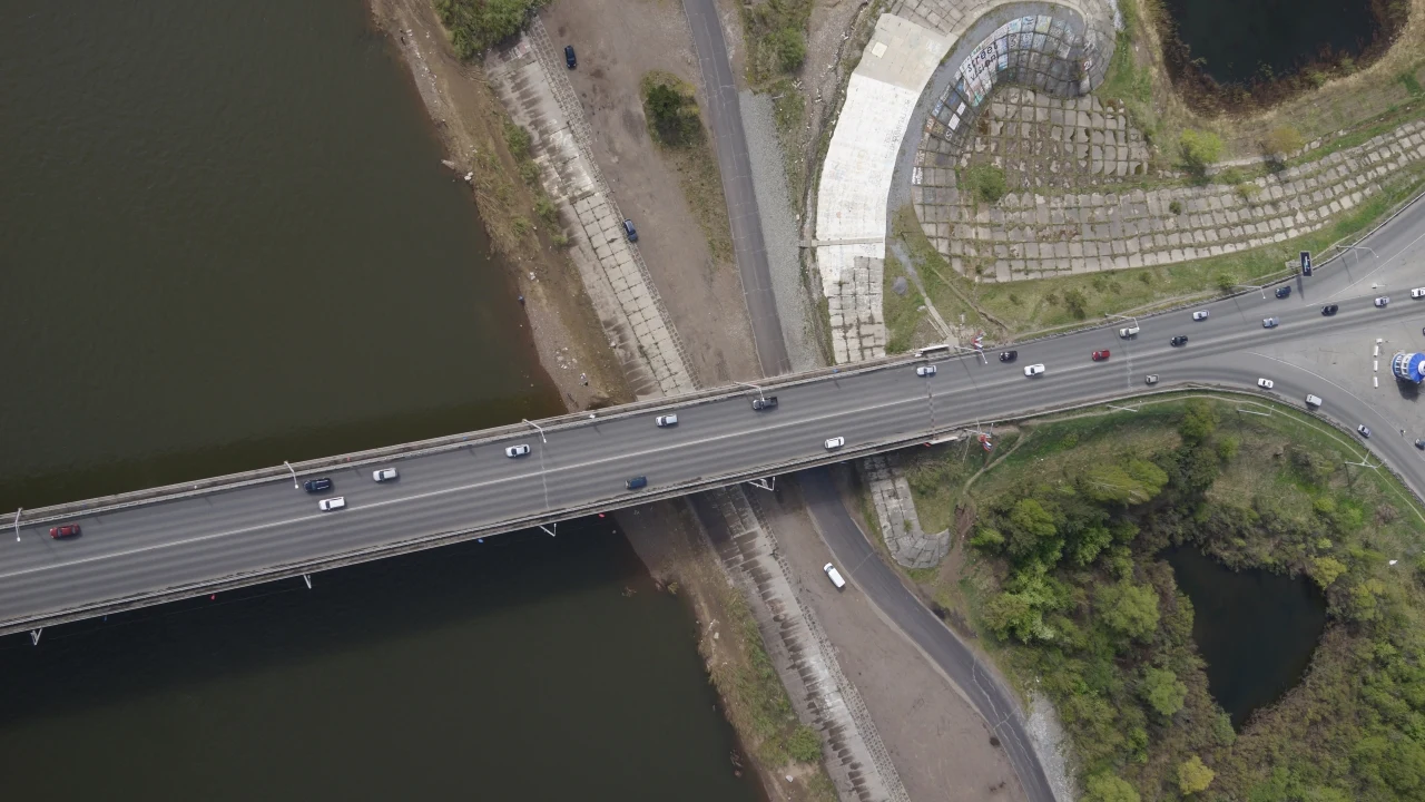
Remote sensing of the earth using a high-precision airborne laser scanner and professional aerial survey equipment was carried out to create digital orthophotomaps of 1:2000 scale and digital topographic plans of 1:2000 scale for the production needs of the oil company.
The aerial survey received full geodetic support in the form of plan-altitude support from the points of the state geodetic network (GGS). High-precision laser scanning and digital aerial photography are provided through the use of receivers, global navigation satellite system (GNSS) base stations and an inertial measurement unit (IMU).
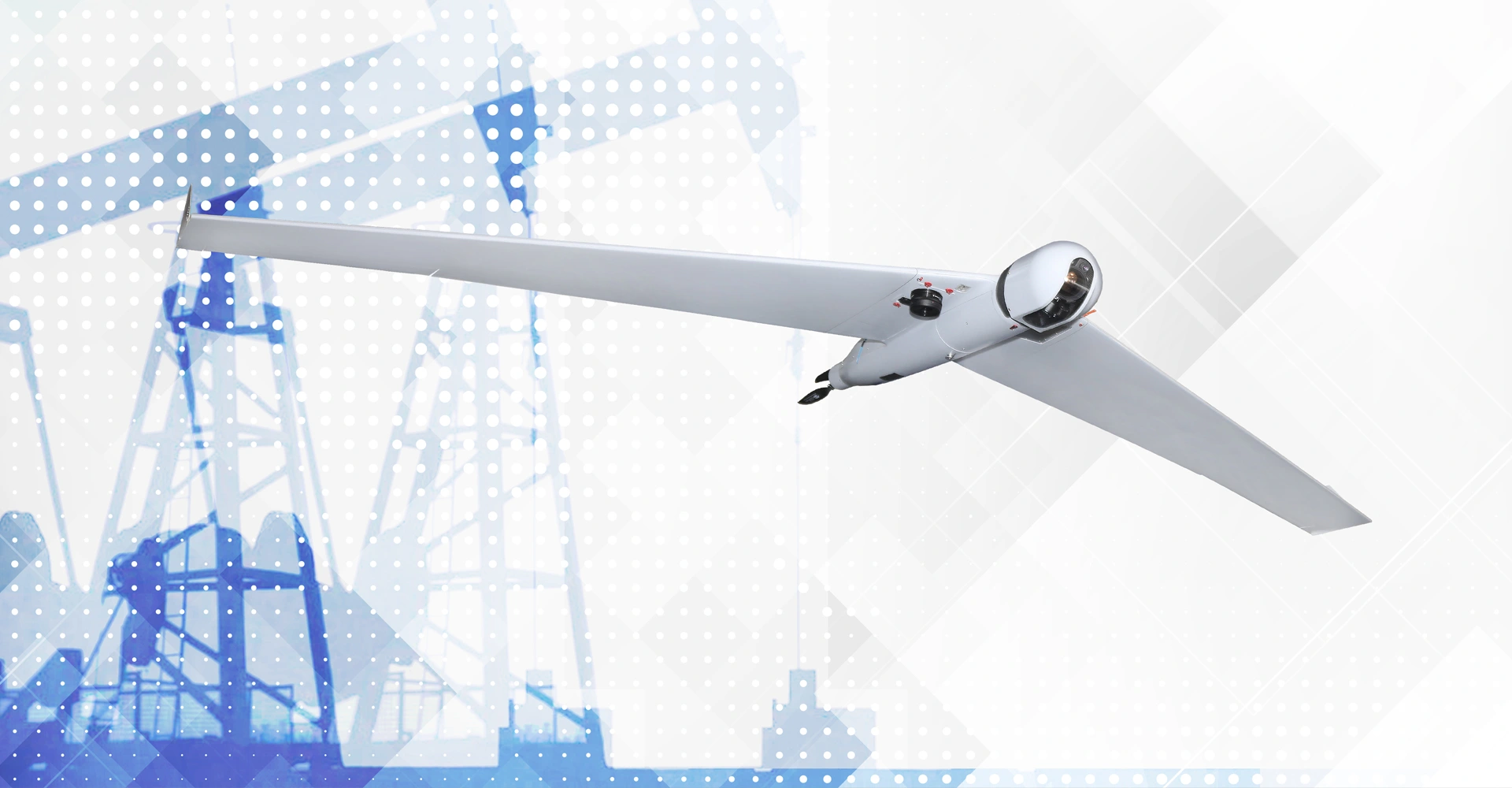
An airborne laser scanning system enables high-speed automation of 3D data acquisition and is an ideal way to produce highly accurate geo-referenced data.
To date, the project has been successfully completed and the Customer has received all aerial survey materials and its derivatives: orthophotomaps, topographic plans, digital elevation models, and a technical report on cartographic and geodetic works.