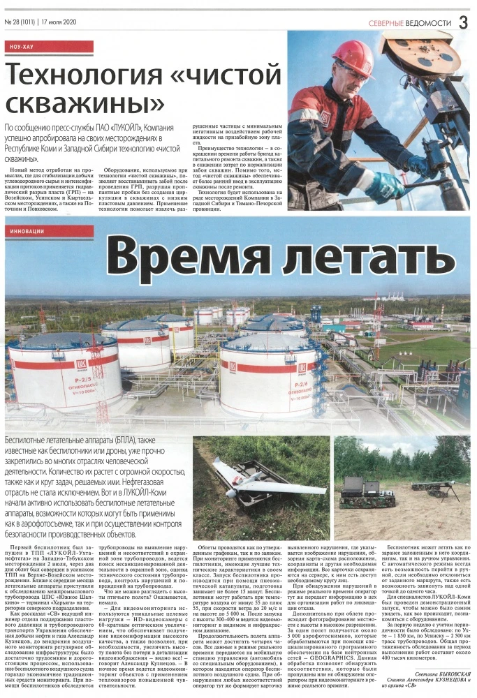
TIME TO FLY. Clean Well Technology
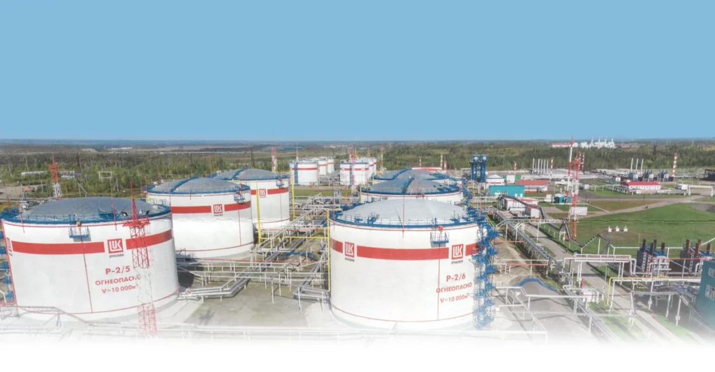
Unmanned Aerial Vehicles (UAVs), also known as drones or drones, are already firmly established in many sectors of human activity. The number of them is growing at a tremendous rate, as well as the range of tasks they solve. The oil and gas industry is no exception. LUKOIL-Komi has started to actively use drones, the capabilities of which can be applied both in aerial photography and in safety monitoring of production facilities.
The first drone was launched at LUKOIL-Ukhtaneftegaz TPP at the Zapadno-Tebukskoye field on 2 July, two days later the overflight was carried out at the Usinsk TPP at the Verkhne-Vozeyskoye field. Closer to the middle of the month, the aircraft started surveying the interfield pipeline Yuzhnoye Shapkino CPF - Kharyaga terminal at the northern division.
Alexander Kuznetsov, Leading Engineer of the Reservoir Pressure Maintenance and Pipeline Transport Department of the Oil and Gas Production Support Division, told SV that prior to the introduction of aerial monitoring, regular inspection of infrastructure was a rather labour-intensive and expensive process; the use of unmanned aircraft is much more economical than traditional monitoring means. Drones are used to inspect pipelines for violations and discrepancies in the pipeline protection zone, search for unauthorised activities in the protection zone, assess the technical condition of pipelines, and control violations and damage to pipelines.
What can you see from a bird's eye view? Turns out, quite a lot.
- Unique target loads are used for video monitoring - HD video cameras with 60x optical magnification, which provides high quality video information, and also allows, if necessary, to increase the flight altitude without loss in video image detail - you can see everything! - says Alexander Kuznetsov. - At night, video monitoring of objects is carried out using high sensitivity thermal imagers.
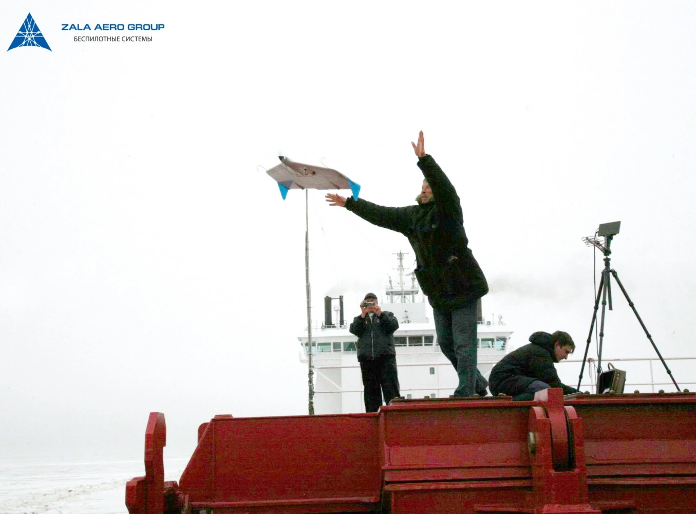
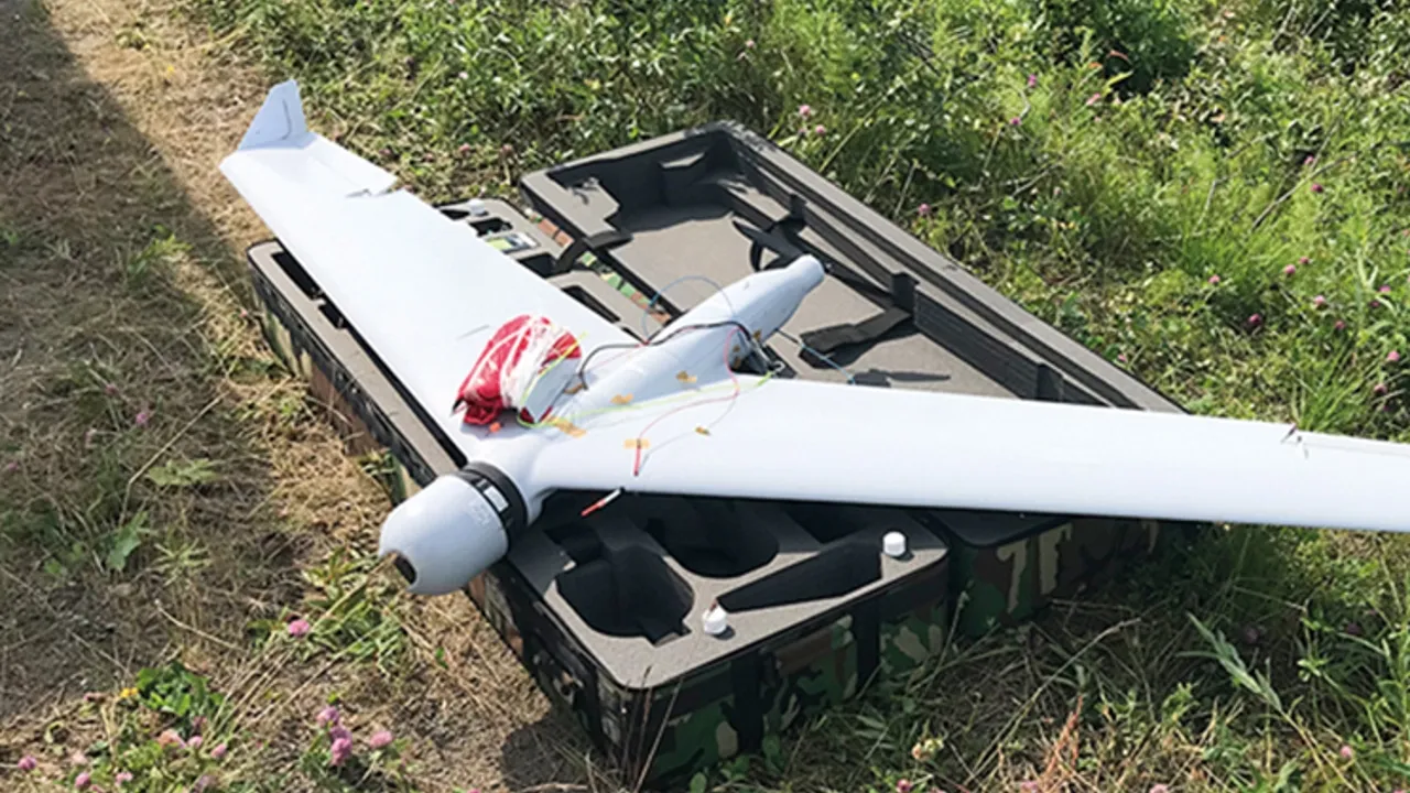
Overflights are carried out both according to approved schedules and on request. Drones with the best technical characteristics in their class are used for monitoring. The drone is launched using a pneumatic catapult, preparation takes no more than 15 minutes. Drones can operate at air temperatures from minus 55 to plus 55, at wind speeds of up to 20 m/s and at altitudes of up to 5,000 metres. After launching from a height of 300-400 metres, video monitoring in the visible and infrared range is carried out.
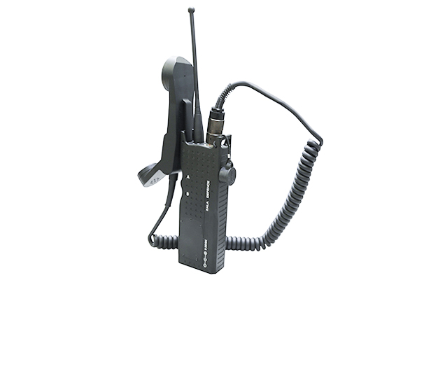
The flight duration of the vehicle can be up to four hours. All data is transmitted in real time to the mobile control station (a vehicle with special equipment) where the unmanned aircraft operator is located. If any discrepancies are detected, the operator immediately generates a card of the detected violation, which includes an image of the violation, an overview map of the location, coordinates and other necessary information. All cards are stored on the server and can be accessed by the necessary number of persons.
If a fault is detected in real time, the operator immediately transmits the information to the shop floor to organise work to eliminate the fault.
In addition, high resolution aerial photographs are taken during the flight. In one flight, about 5,000 aerial photographs are obtained and processed using specialised software based on neutron networks - GEOGRAPHICS. This processing makes it possible to detect discrepancies that were missed or not detected by the operator during real-time video monitoring.
The drone can fly both according to the coordinates pre-set in it and on manual control. From automatic mode there is always a possibility to switch to manual mode if it is necessary to deviate from the set route, and there is also a possibility to hover over one point for up to one hour.
A demonstration launch was held for LUKOIL-Komi specialists so that they could see for themselves how everything happens and get acquainted with the equipment.
During the first week, taking into account periodicity, 1,850 kilometres were surveyed in Ukhta and 2,500 kilometres of pipeline routes in Usinsk. The total length of the survey during the period of work will be about 400 thousand kilometres.