ZALA Confirmed the effectiveness of multispectral imaging for oil and gas infrastructure in the northern latitudes
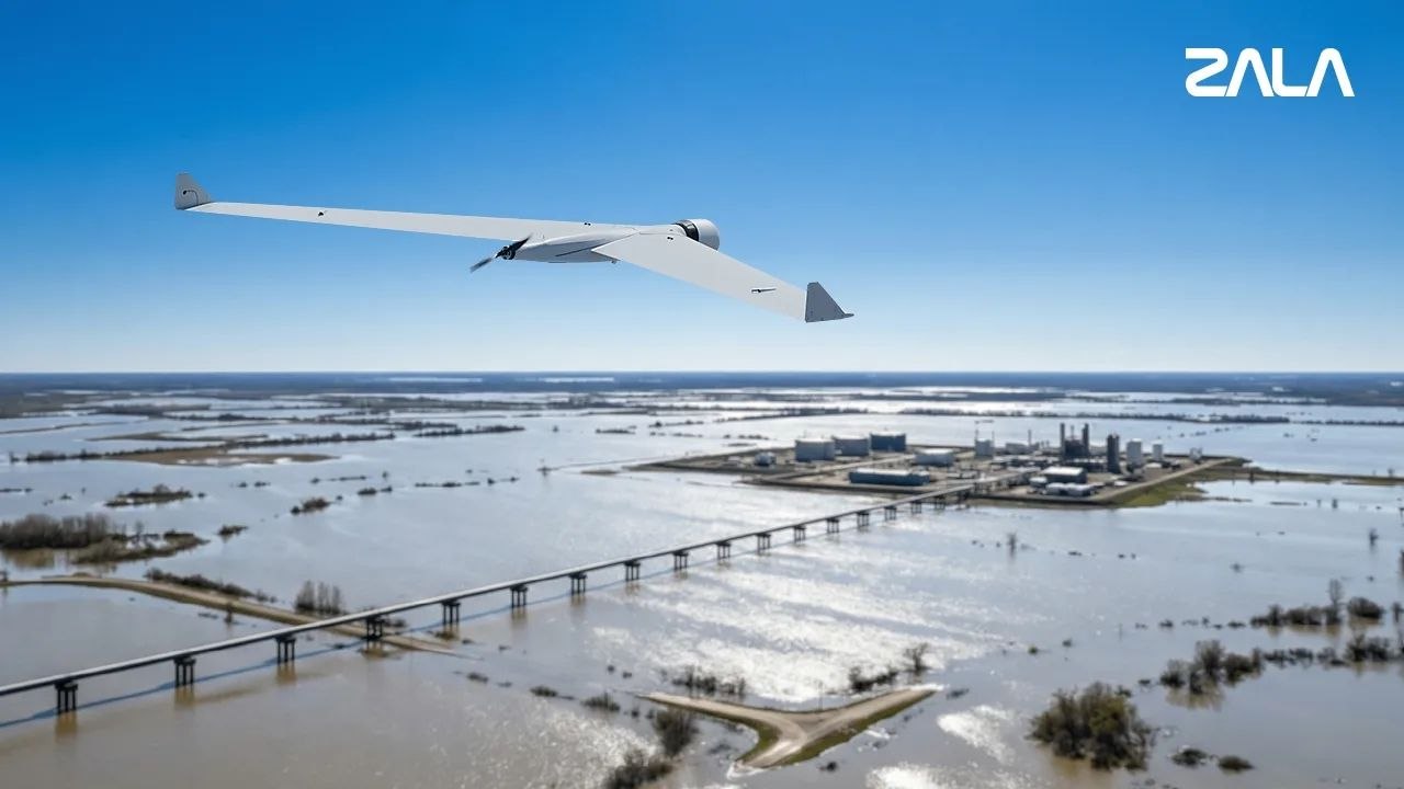
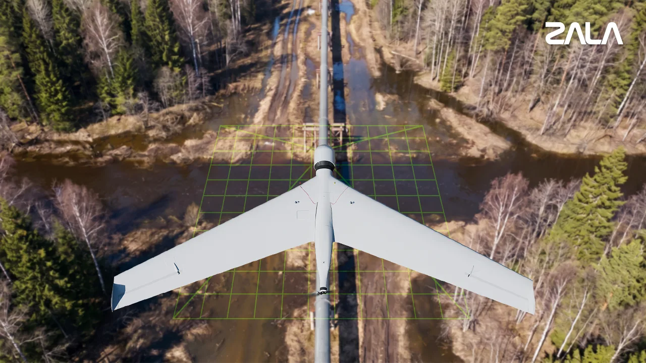
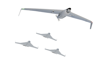
The company completed a series of experimental industrial tests using the T ZALA -16 complex in heavily flooded areas in the northern latitudes. The specialists conducted aerial monitoring of the oil production and transportation sites.
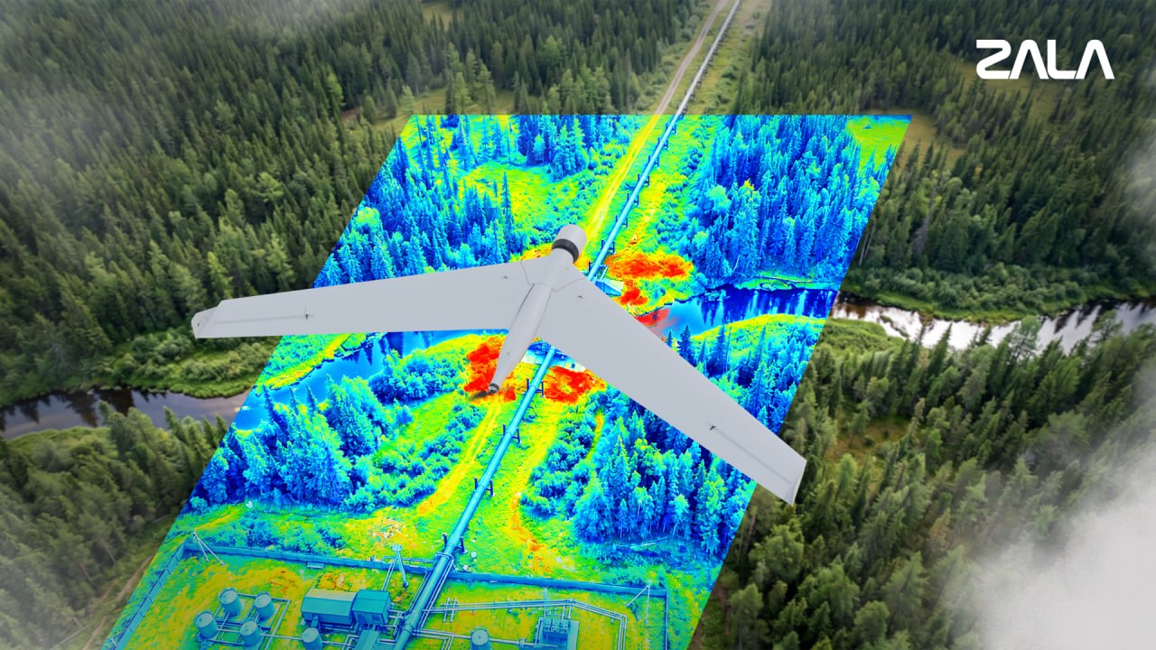
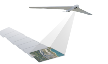
Multispectral technology allows detecting the presence of oil-containing liquid in soil and plants in conditions where visual inspection cannot determine its presence. The method is based on analyzing surface reflection in different spectral ranges and detects chemical abnormalities. ZALA The technology has been adapted for unmanned aerial systems of aircraft type: thanks to mathematical calculations, the illumination range is expanded, which allows operating in northern regions with low sun elevation above the horizon, as well as at high flight speed. A comprehensive methodology has been developed: photographs obtained as a result of aerial photography are compared with the results of multi-spectral scanning, which allows finding anomalies above underground pipelines, determining the nature and degree of contamination, and distinguishing oil spills from natural processes.
Unlike satellite monitoring, the systems ZALA provide detailed surveys directly over the object, and the data are processed in a local data center located in Russia, not transferred to third-party cloud servers. Successful tests confirmed the practical applicability of the technology for monitoring oil and gas infrastructure, detecting critical disruptions related to the release of products and chemicals in complex climatic and operational conditions.


 Russian
  English