Airborne laser scanning for cadastral services
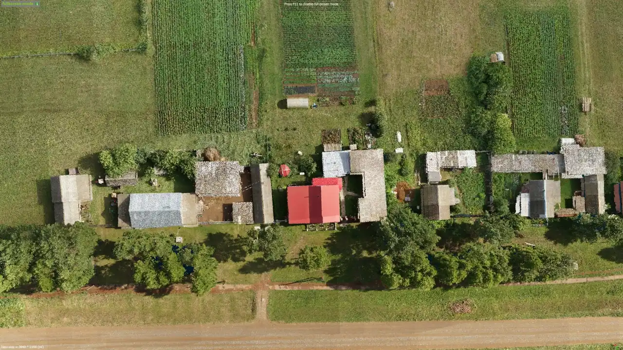
ZALA AERO together with Rosreestr representatives conducted airborne laser scanning of the settlement as part of pilot tests. The purpose of the tests was to demonstrate the capabilities of the technology airborne laser scanning and adapt it for use for the benefit of cadastral services.
The post-flight measurements resulted in a dense cloud of territory points. Based on this data, Rosreestr specialists assess the boundaries of land plots, location and size of buildings and structures.
The accuracy of laser scanner measurements is up to 1 cm in plan and height, which is several times higher than the accuracy of data obtained by aerial photography. High density of measurements allows to "penetrate" ground objects (vegetation, power lines, etc.) and obtain data on the true relief surface and ground objects. This is currently the most productive method of geospatial data collection.