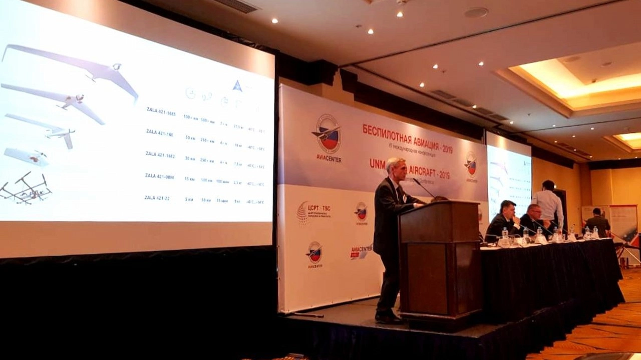
ZALA AERO GROUP is recognised as the best as a result of summing up the results of the tender of Samaraneftegaz JSC
ZALA AERO GROUP was recognised as the best in the tender for the provision of services for monitoring infrastructure facilities of Samaraneftegaz JSC using unmanned aerial systems.
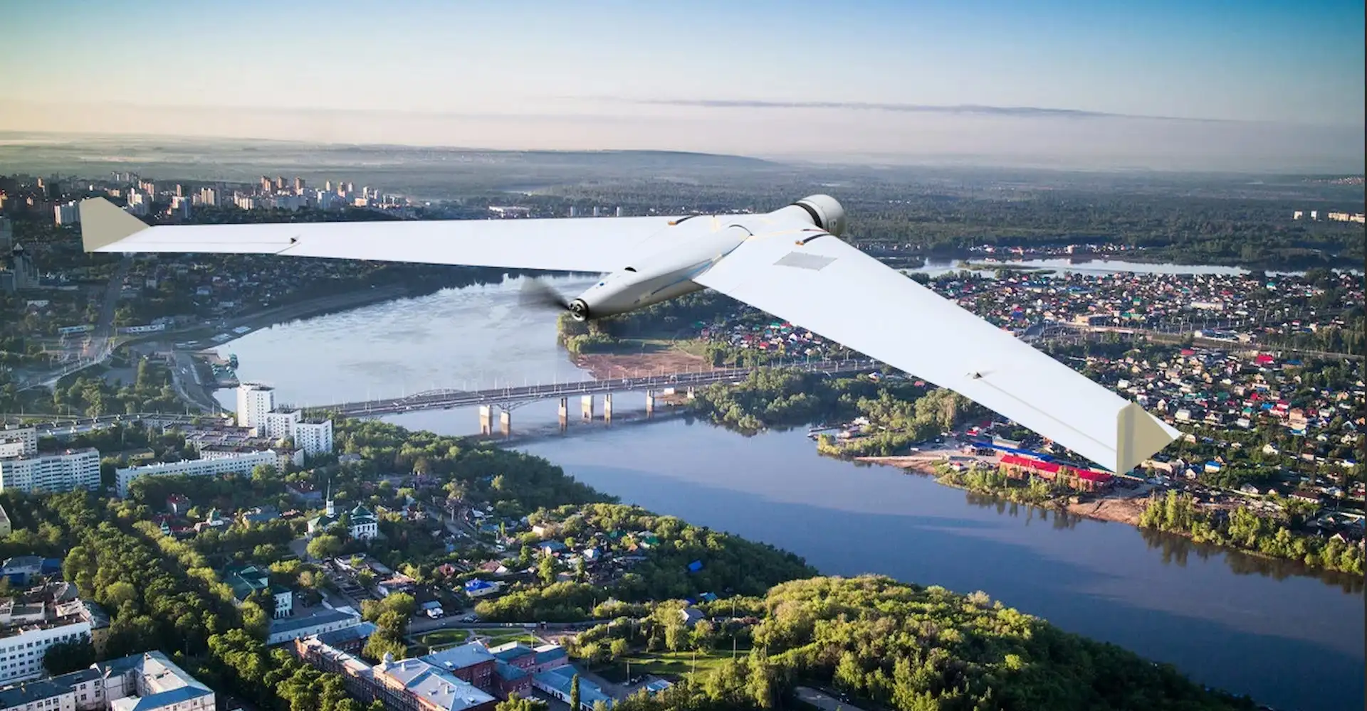
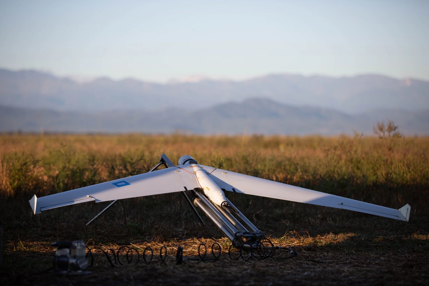
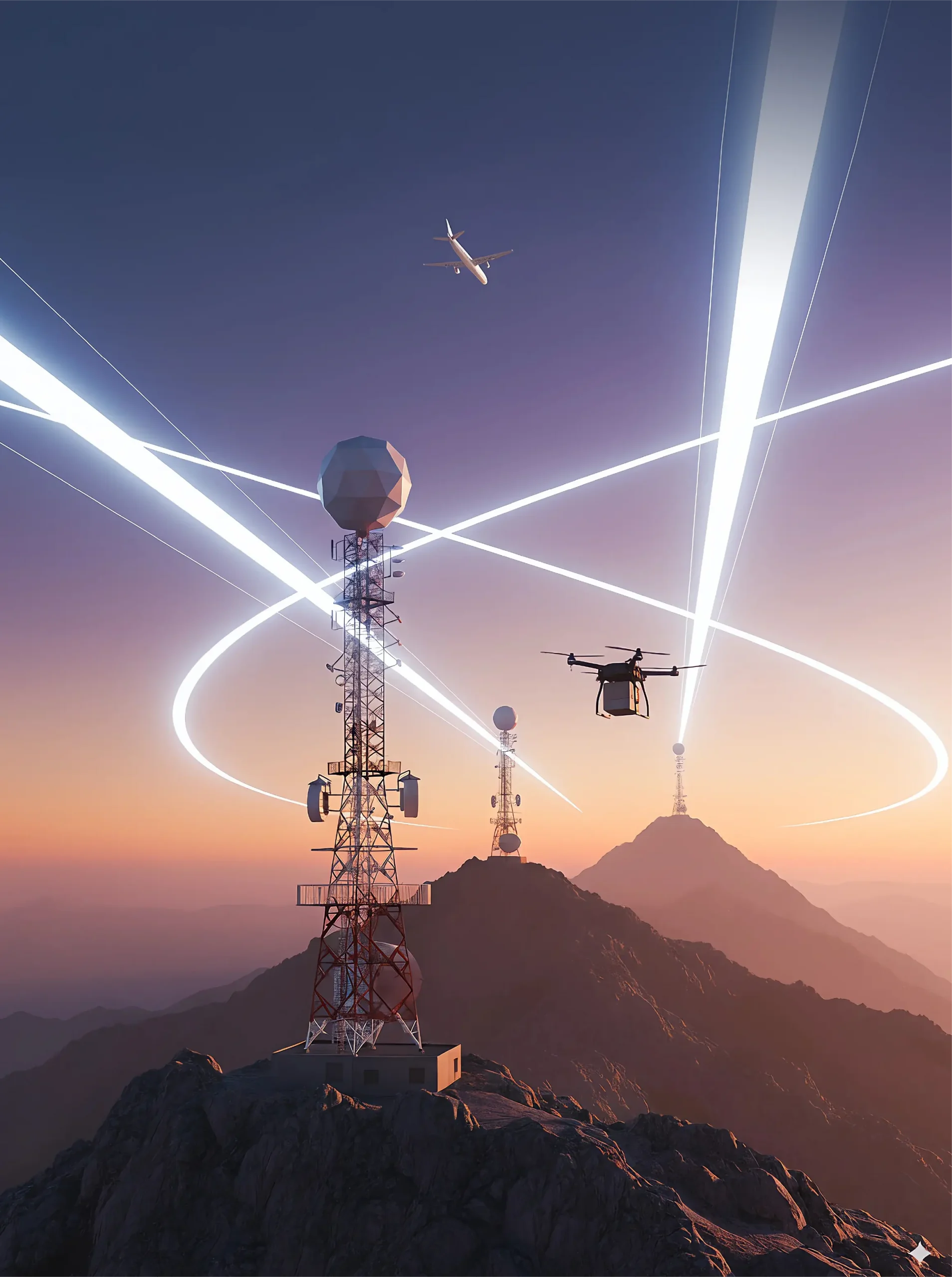
ZALA AERO GROUP will start to fulfil the contract from 01.01.2021, the company's cooperation with Samaraneftegaz JSC under the contract will continue until the end of 2022. According to the terms of reference for the provision of services to monitor infrastructure facilities of Samaraneftegaz JSC, air patrolling will be carried out using unmanned aerial systems in the territory of the Samara region.
The main objective of the work is to promptly detect potential threats and violations in the pipeline protection zone, as well as to identify unauthorised activities. In addition, an important task is to identify possible industrial safety violations by contractors and minimise accident risks by timely informing responsible persons.
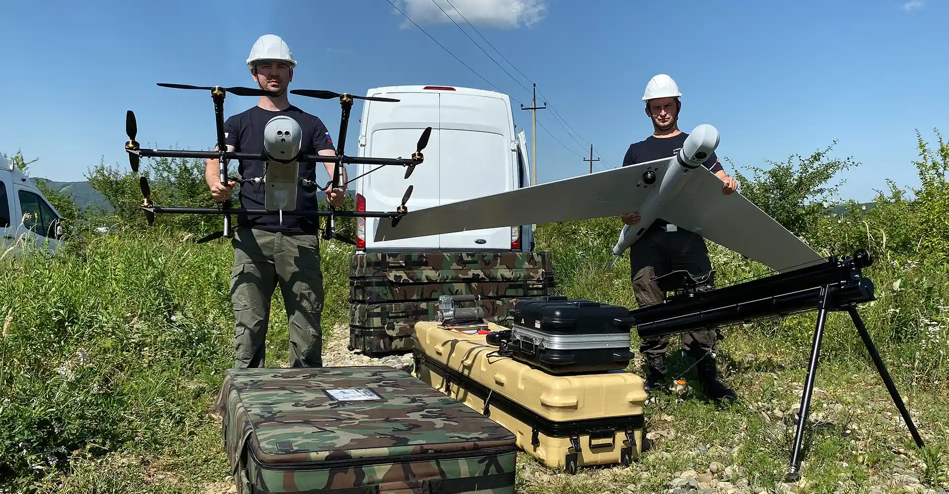
Unmanned aerial monitoring of Samaraneftegaz JSC's infrastructure facilities will be carried out using a three-stage technology that allows automated detection of violations and changes that occurred between aerial surveys using special software based on neural networks.
The data obtained during monitoring will be automatically processed using software with artificial intelligence elements, which will increase the efficiency of data analysis, ensure prompt detection of pipeline integrity violations and any unauthorised actions in the territory of the customer's responsibility. For these purposes, ZALA AERO GROUP uses domestic software - GEOGRAPHICS, which has successfully proved itself in this industry and increases the efficiency of unmanned aircraft systems at fuel and energy facilities by at least 30%.
This software provides not only identification of threats and potential violations in the protection zone, but also makes it possible to organise remote control over the performance of aerial monitoring work with UAVs, as well as storage and systematisation of survey results. One of the GEOGRAPHICS modules identifies changes on the ground surface using photoplans for different time periods.