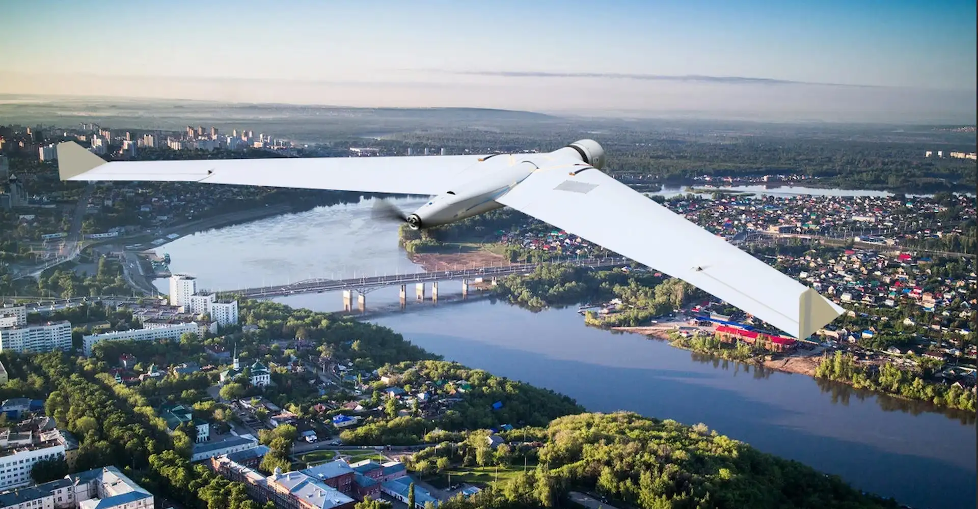
ZALA AERO delivered unmanned aerial systems to Kazakhstan

ZALA solutions will be used for environmental protection, geotechnical surveys, geodesy and land surveying, and expert work in the field of subsoil use.
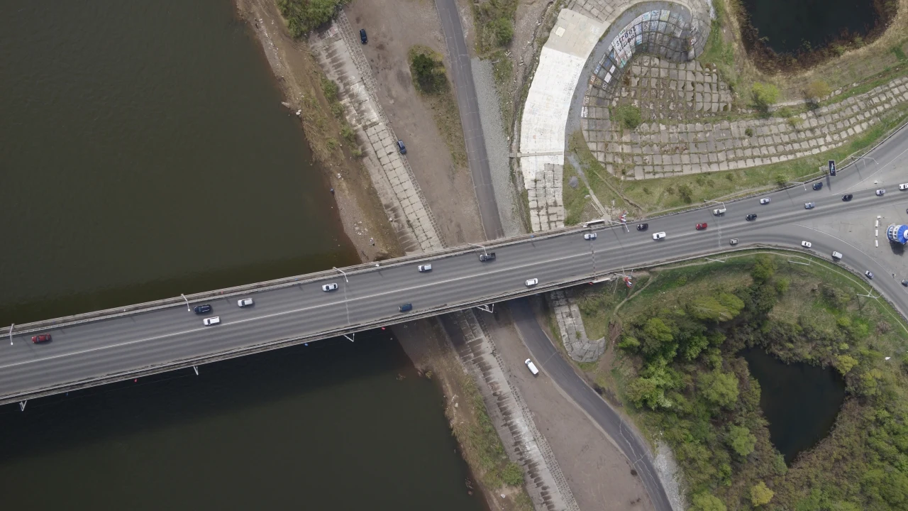
It is planned that ZALA unmanned systems will also be used to mark forest land boundaries, monitor pipelines, and create digital terrain models.
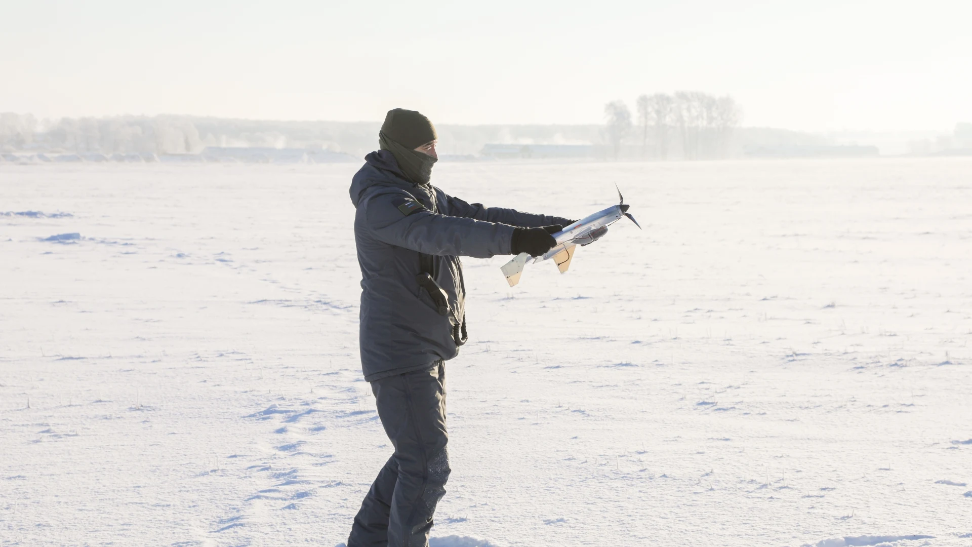
Specialists from Kazakhstan have completed training at a licensed training centre and can independently operate ZALA unmanned systems in Kazakhstan.