
NEXT-GENERATION SOVEREIGN COMMUNICATIONS AND NAVIGATION SYSTEM
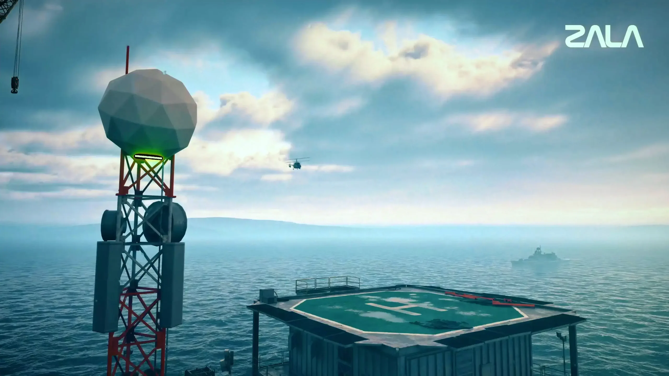
GEOCOSMOS fundamentally eliminates unmanned systems’ dependence on satellite and mobile communications, ensuring reliable operation even when conventional communication channels are completely unavailable or actively suppressed.
GEOCOSMOS represents a new paradigm for controlling robotic systems across all operational domains. It meets modern security requirements and supports the development of sovereign digital infrastructure under the national project “Unmanned Aircraft Systems.”
COMMUNICATIONS AND NAVIGATION ACROSS ALL OPERATIONAL DOMAINS
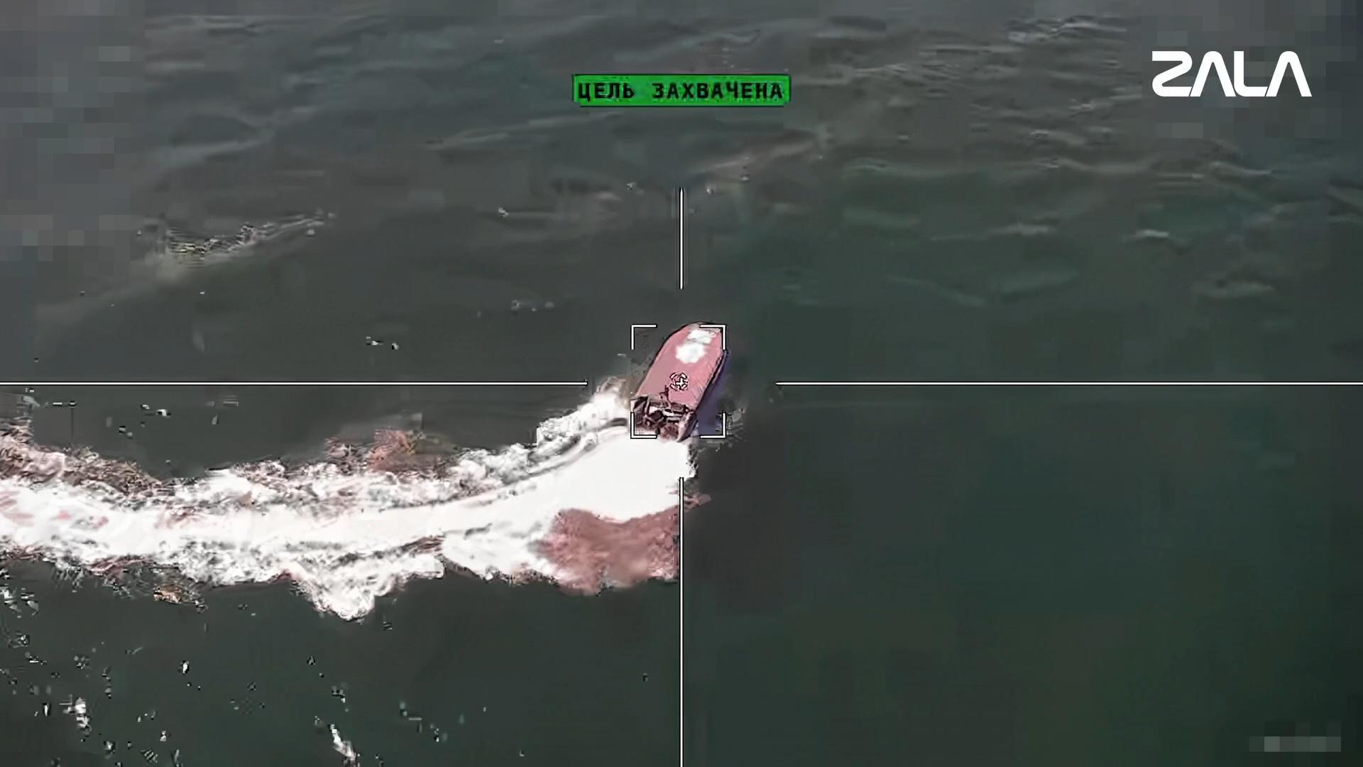
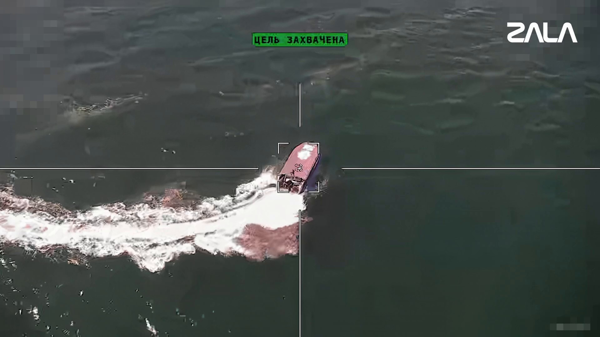
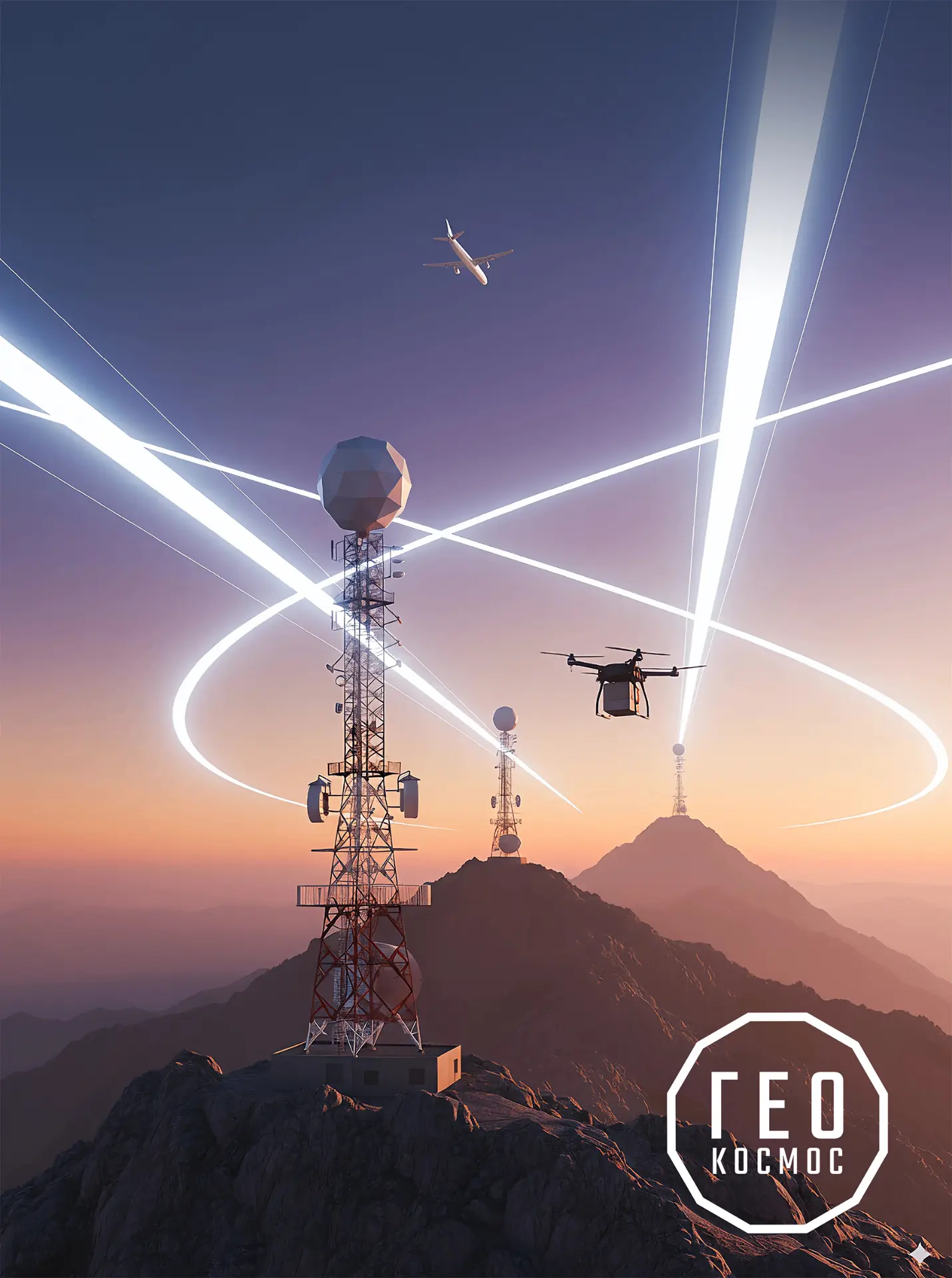
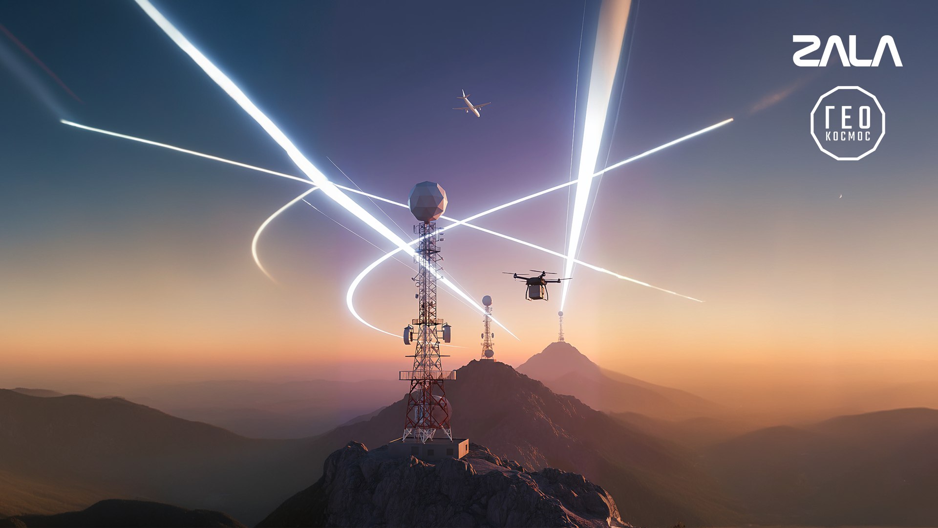
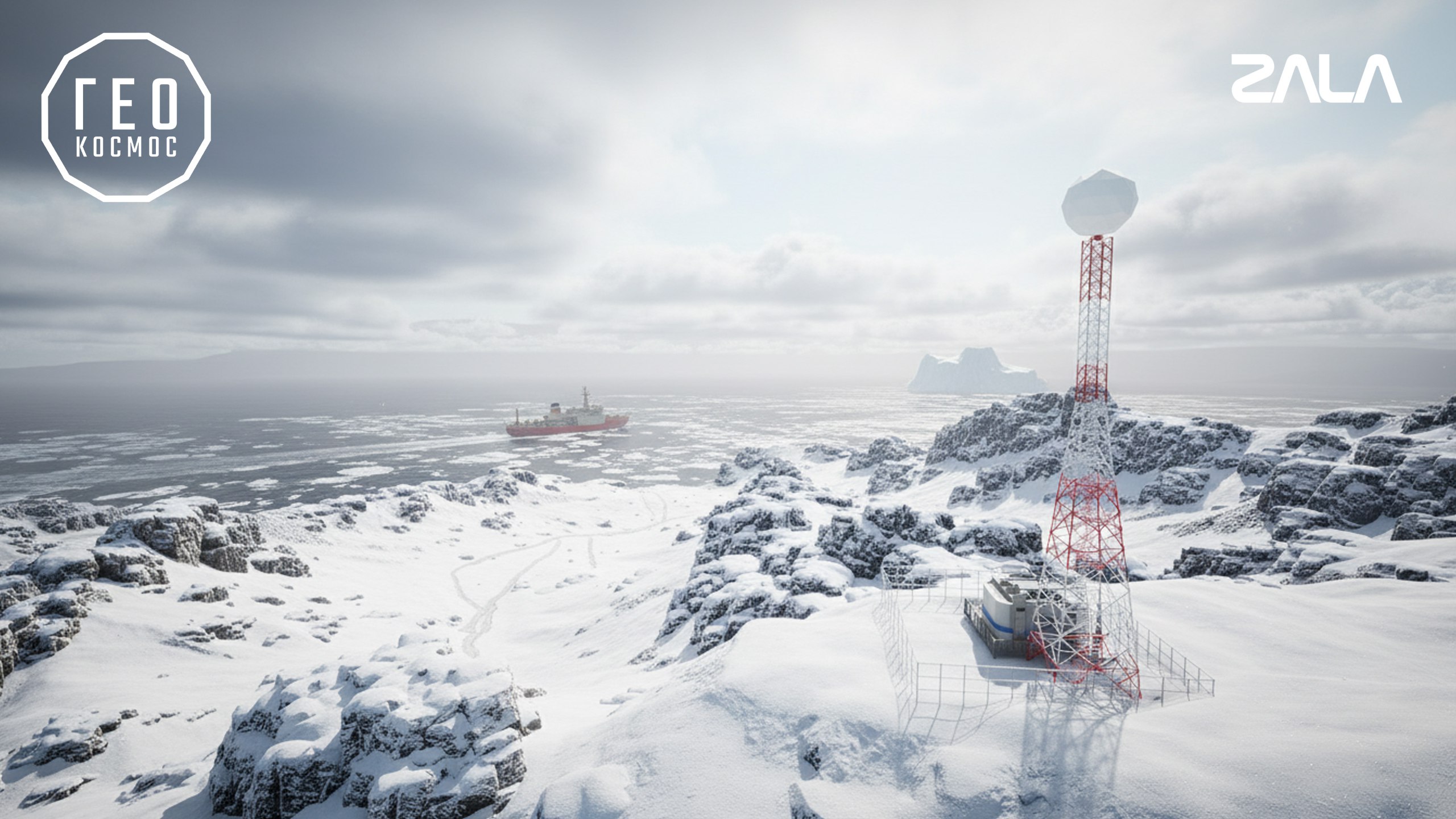
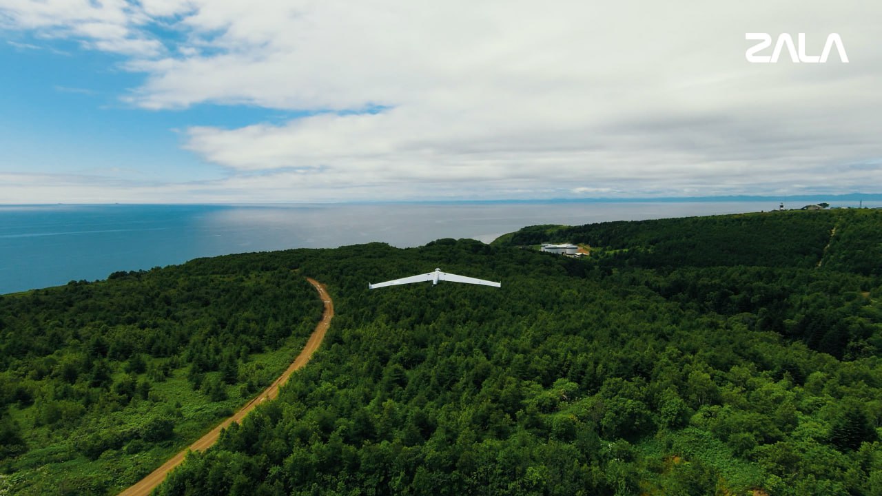
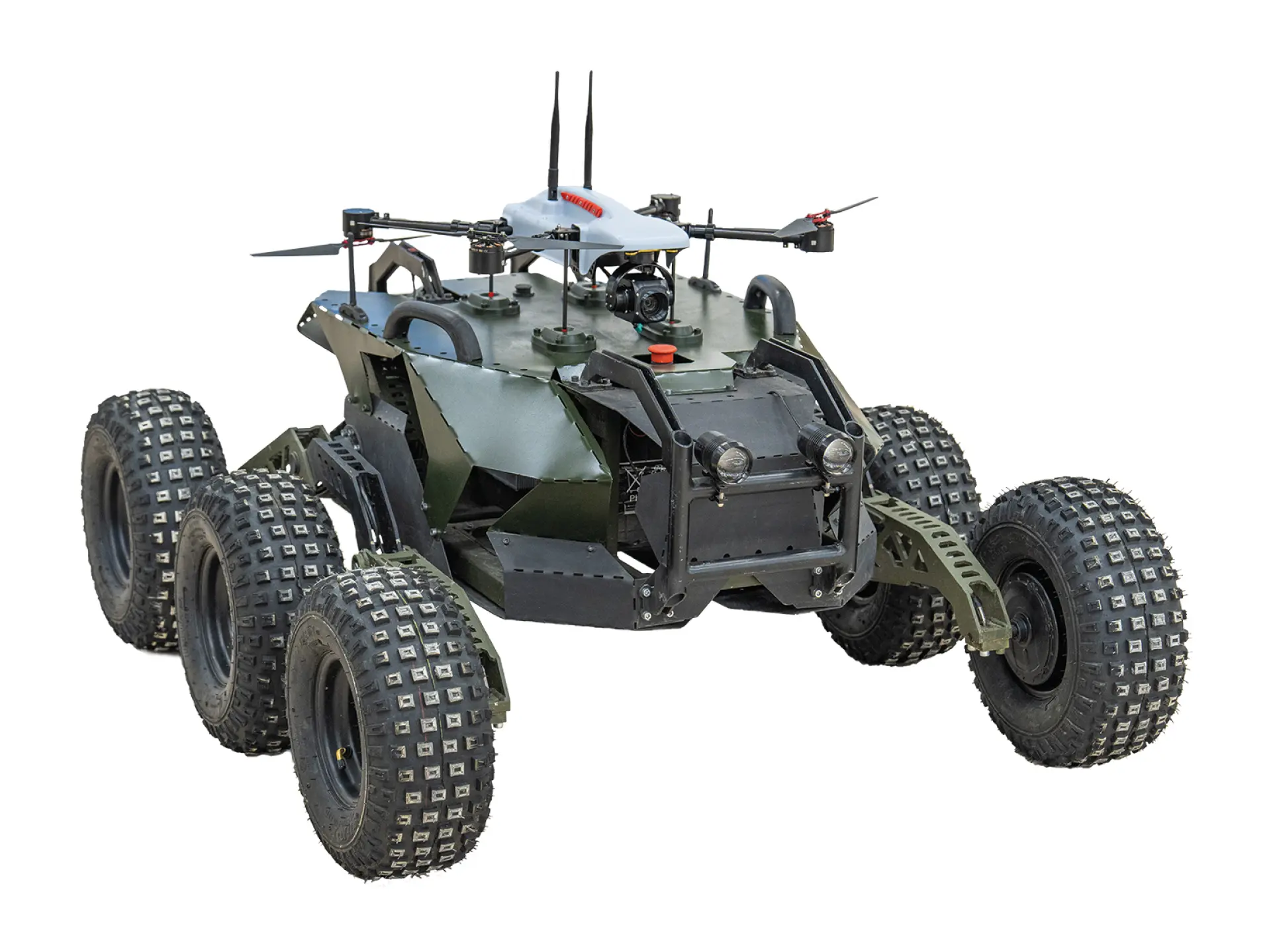
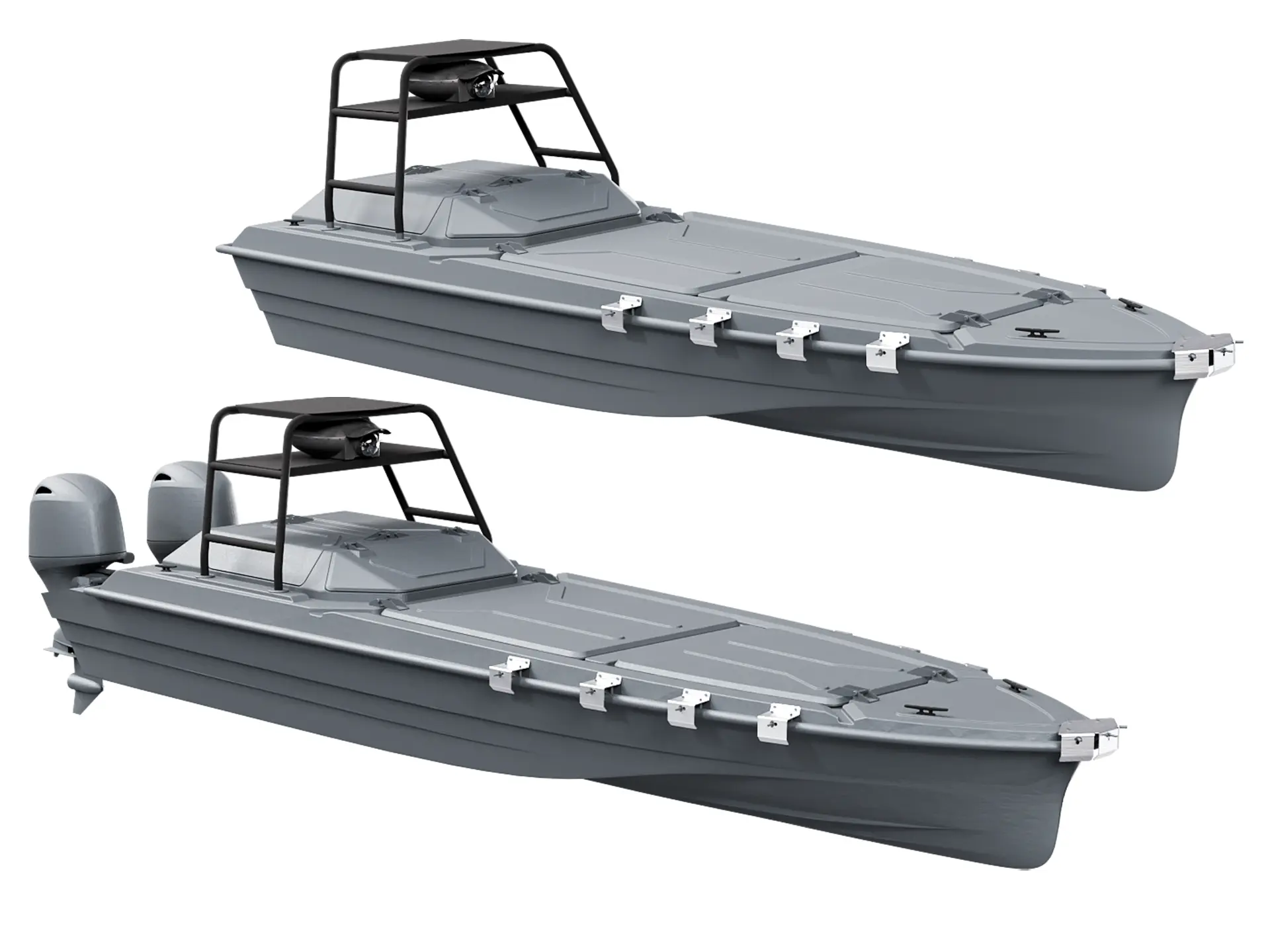
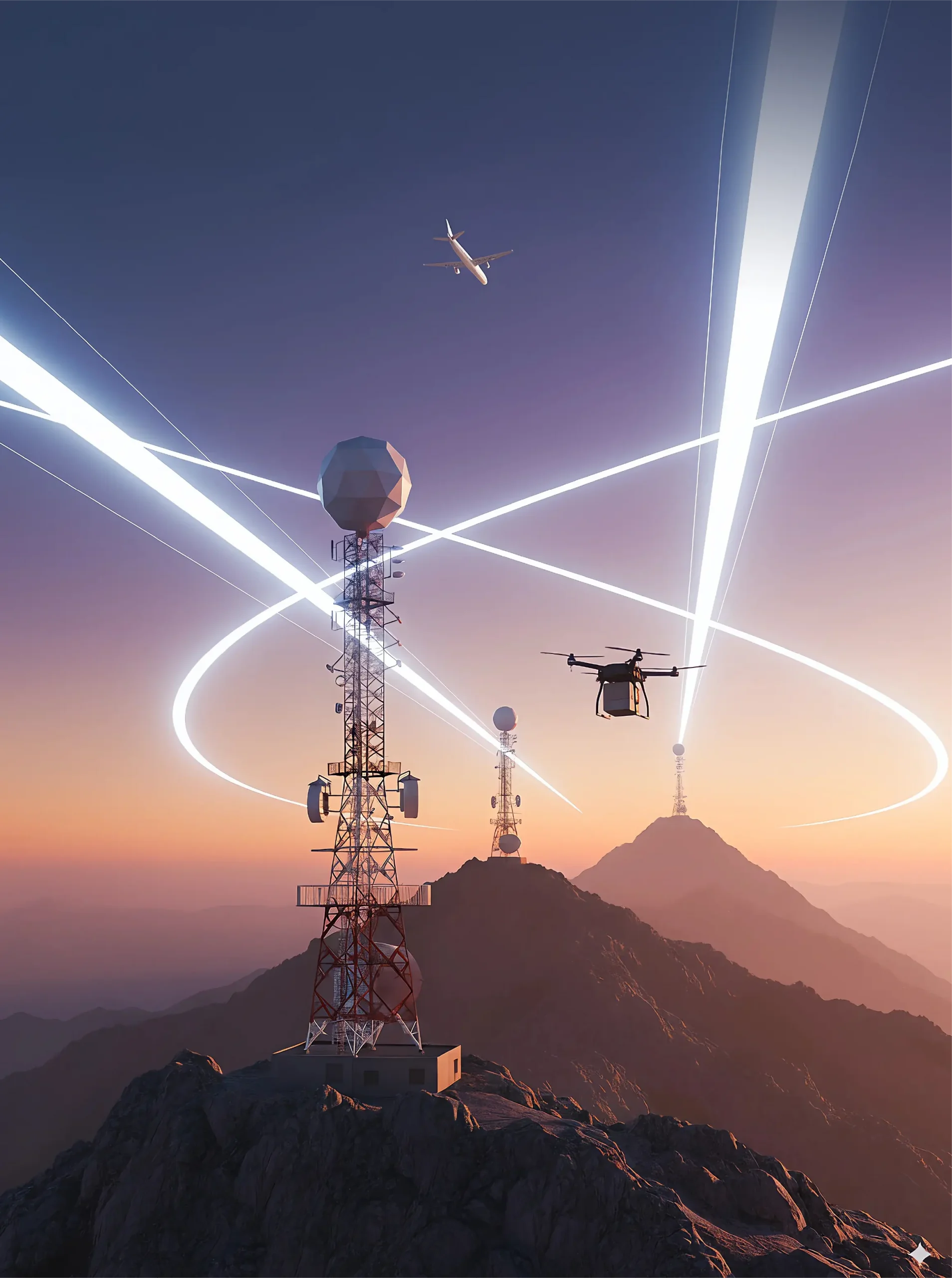
The sovereign GEOCOSMOS communications and navigation system integrates unmanned aerial, ground and maritime systems into a single secure command-and-control network. In any operating environment—whether flying over the sea, patrolling maritime areas or traversing rugged terrain—GEOCOSMOS provides uninterrupted communications, precise positioning and full control of robotic platforms without relying on satellite constellations or cellular networks.
KEY ADVANTAGES OF THE GEOCOSMOS SYSTEM
Independent communications and navigation
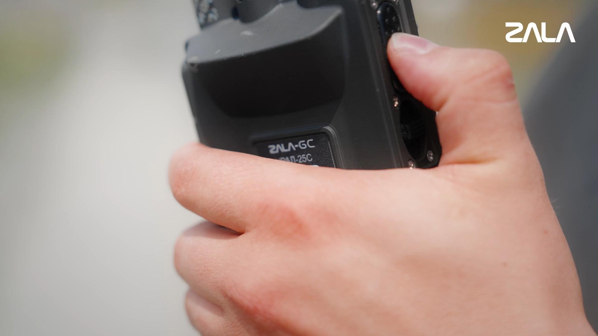
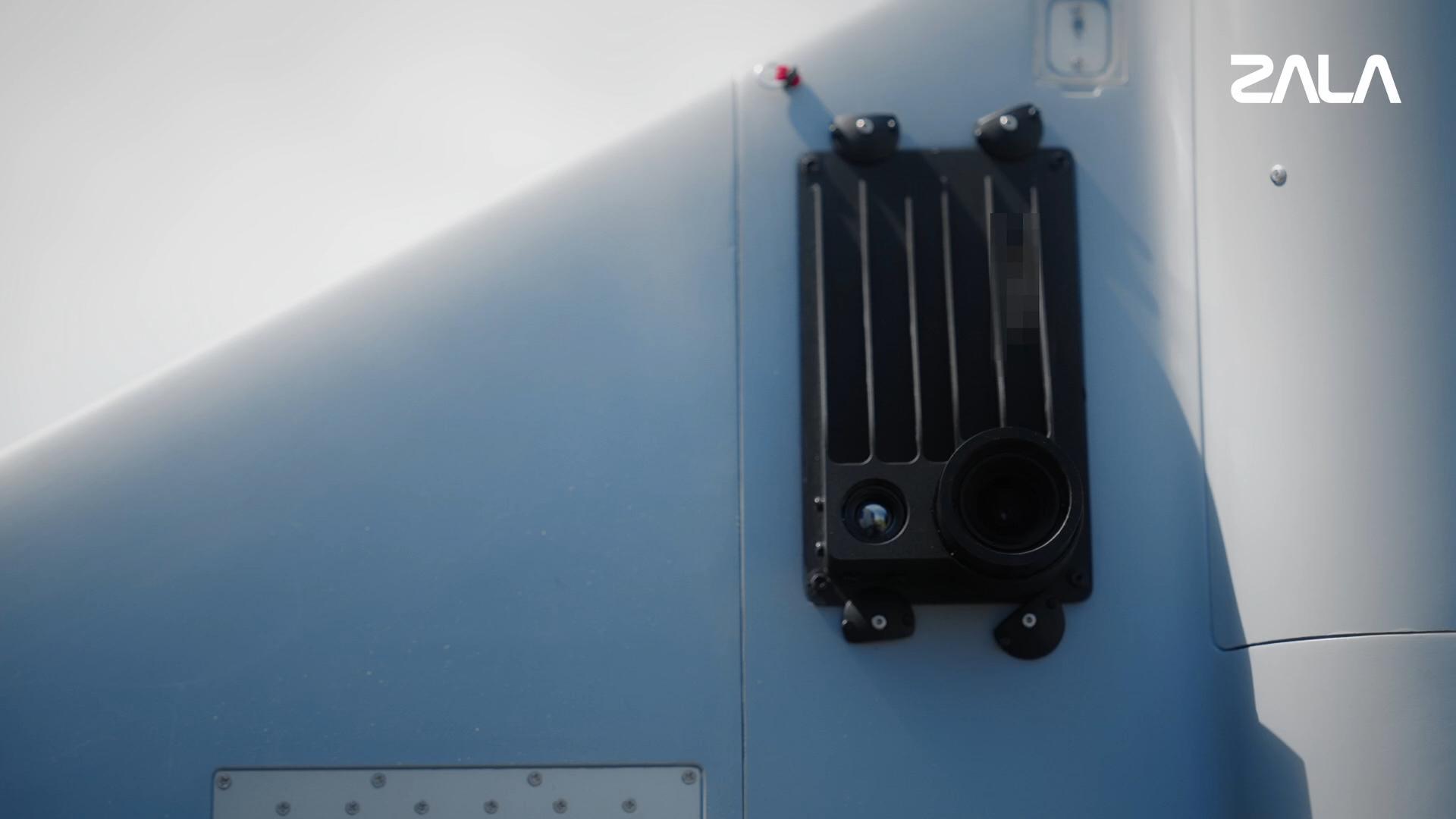
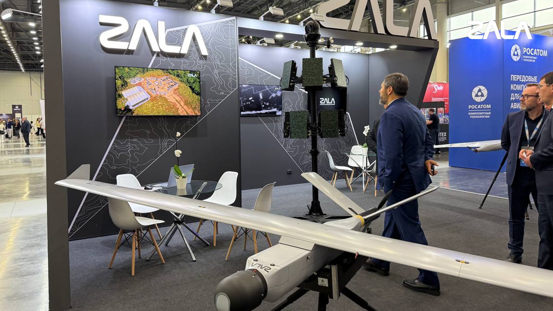
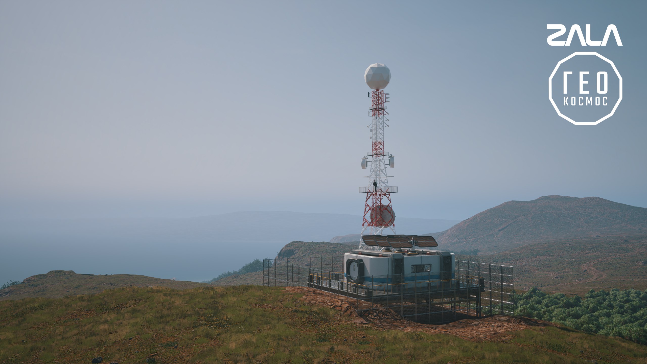
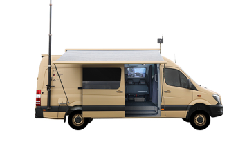
ZALA ground-based stations provide reliable, high-quality communications at ranges of 50–100 km. Together with the onboard equipment—ZALA RV-1 and ZALA TR-1—they form an autonomous network resilient to external interference. Operation across a broad frequency range of 100 MHz to 8 GHz ensures high data rates, stable connectivity, and protection against interception, coordinate spoofing and interference.
Proven in real-world conditions
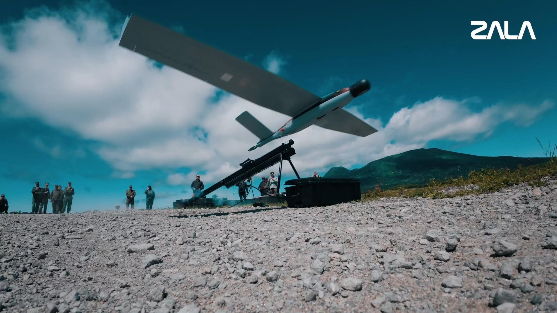
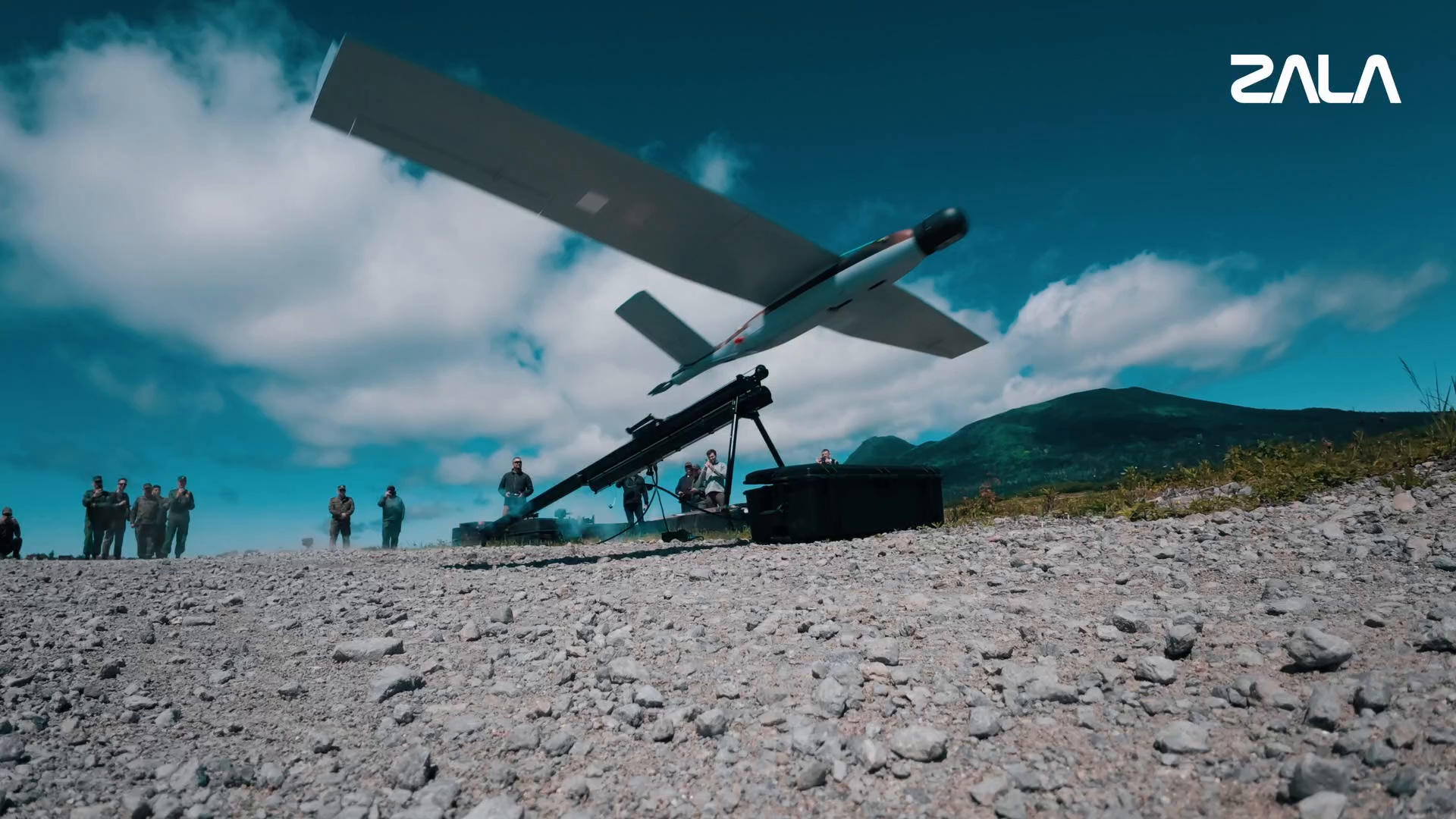
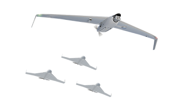
The system has been successfully deployed in the special military operation zone, ensuring the reliable operation of ZALA reconnaissance UAVs and RSS «Lancet» loitering munitions under active hostile electronic warfare.
Precise positioning
The location of the UAV is determined using an algorithm capable of calculating its coordinates with high precision even when relying on signals from just a single ground station. Deploying additional stations significantly improves the accuracy, speed and reliability of the positioning data.
Friend-or-Foe identification
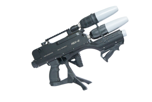
Automatic detection, identification and suppression of unauthorized UAVs, including those not equipped with the system’s onboard hardware.
Scalability and versatility
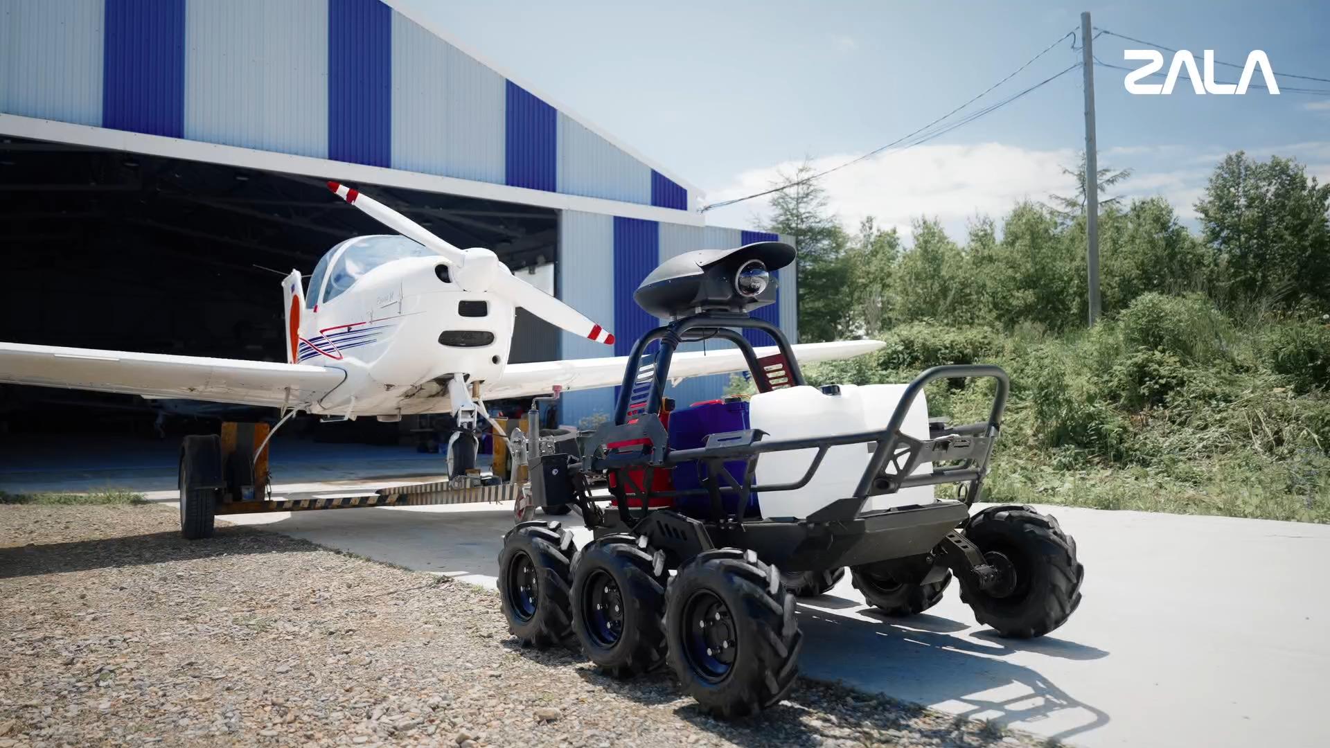
A single ground station can control multiple UAVs and receive video feeds from several aircraft simultaneously. The system enables different types of UAVs and manned aircraft to operate jointly within the same airspace.
Nationwide infrastructure
GEOCOSMOS can serve as the foundation for a nationwide distributed network of control centers capable of remotely operating system-equipped aircraft while ensuring flight safety. Critical nodes within this network are synchronized using quantum time synchronization over terrestrial communication channels.
GEOCOSMOS SYSTEM OPERATING PRINCIPLE
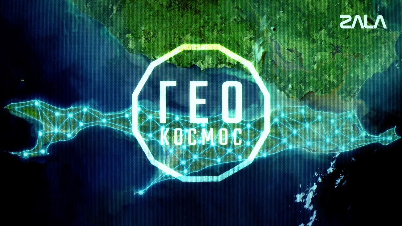
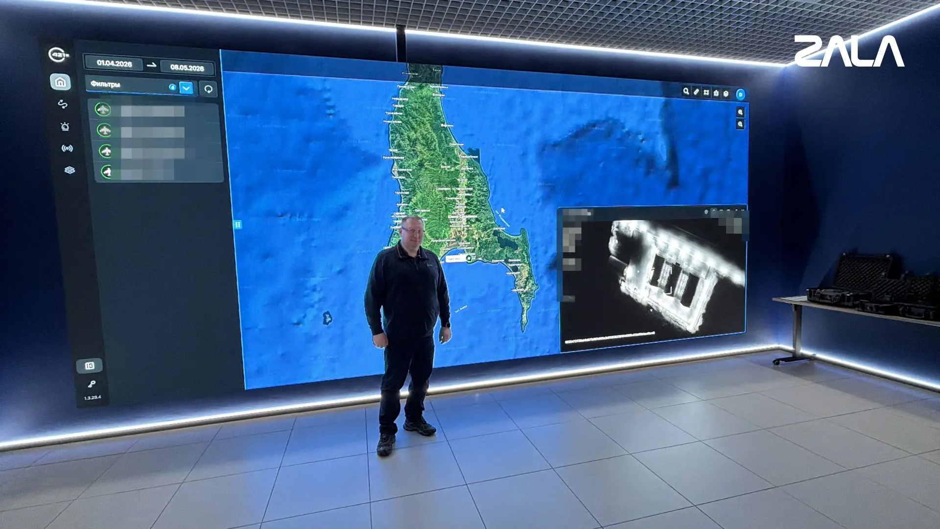
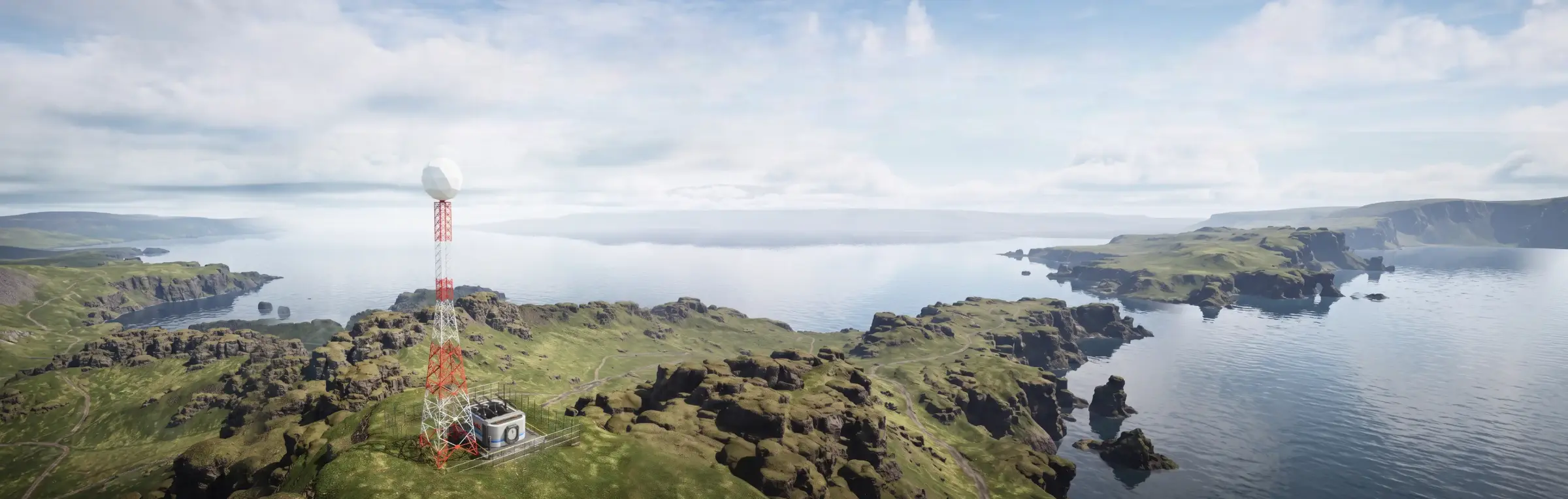
The GEOCOSMOS geoinformation system is a network of fixed ground stations connected by high-speed communication links. It provides communications and navigation, digital integration, and operational oversight of robotic systems across multiple domains.
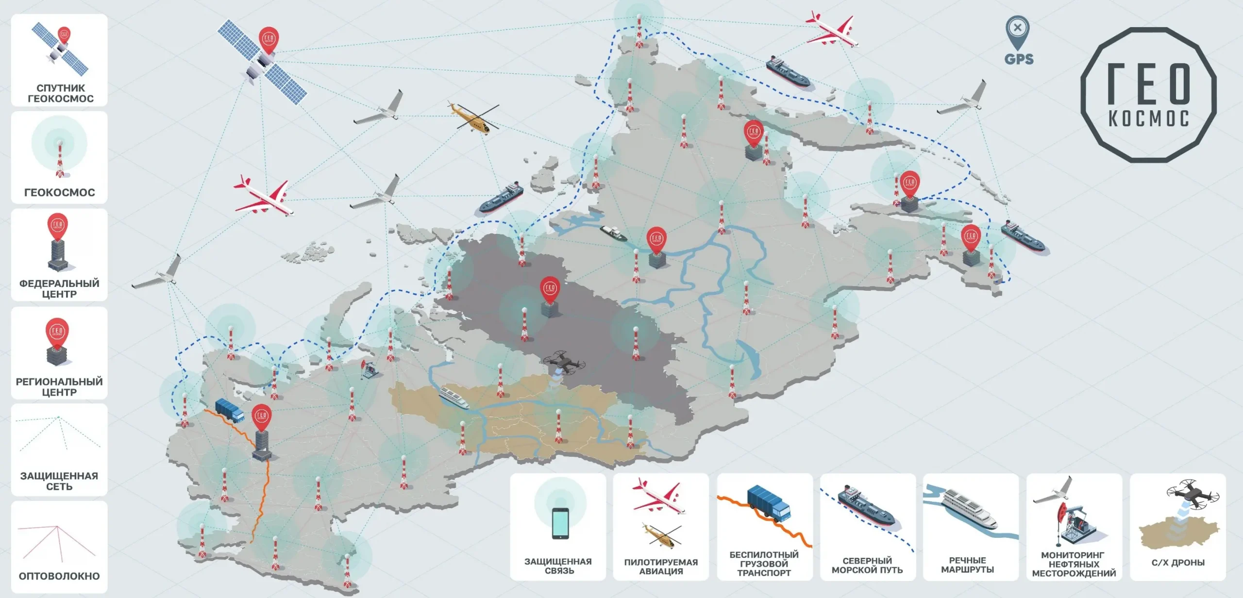
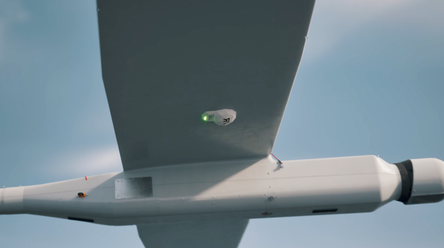
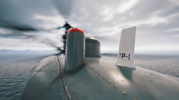
Standardized user devices (transceivers) installed aboard ground, maritime and aerial platforms integrated into the GEOCOSMOS system become an integral part of the system.
ADVANCED CAPABILITIES
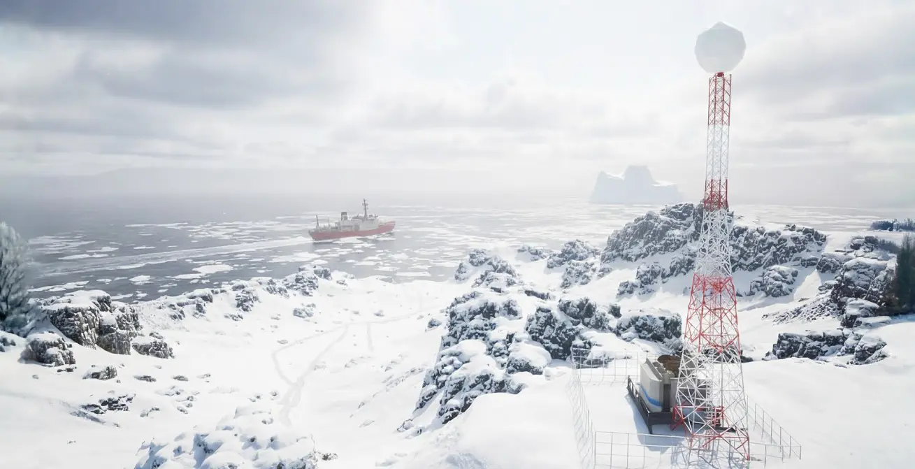
In addition to UAV control, the GEOCOSMOS system can:
- Collect meteorological and seismic activity data.
- Receive wind and precipitation data directly from UAVs.
- Support the deployment of an emergency response system.
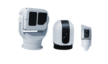
- Provide effective monitoring of land and maritime borders using acoustic sensors and video surveillance.
- Enable secure real-time data exchange between remote infrastructure facilities, government agencies and emergency services.
GEOCOSMOS SYSTEM APPLICATIONS


News






 Russian
  English