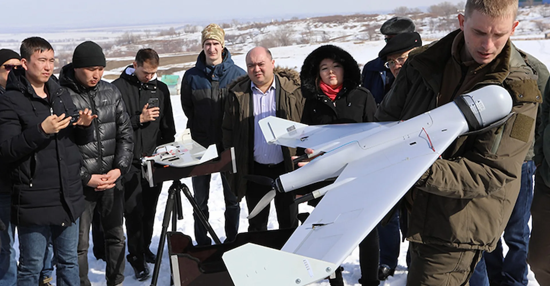
Airborne laser scanning of the fuel and energy complex of Russia
Since 2018, ZALA AERO has been using airborne laser scanning technology. This is currently the most efficient way of obtaining geospatial data used in unmanned and manned aviation.
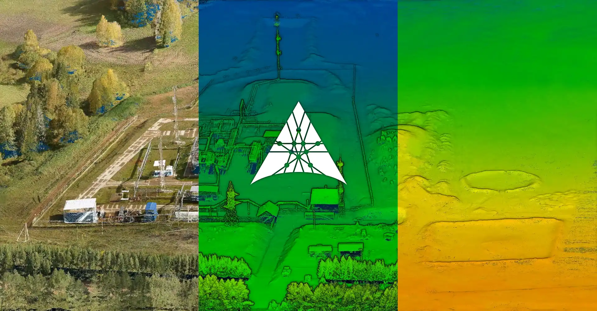
The advantage of VLS technology is the high detail and accuracy of the data, with the possibility of obtaining reliable terrain hidden under vegetation and in hard-to-reach areas.
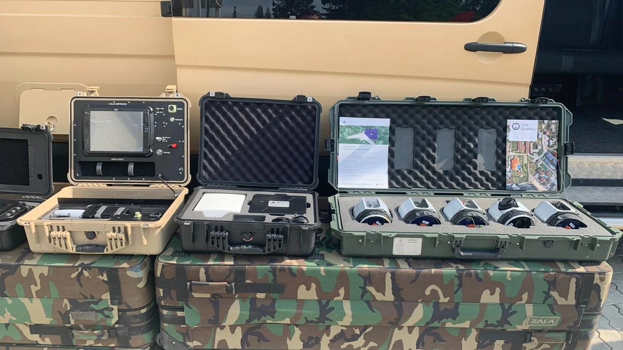
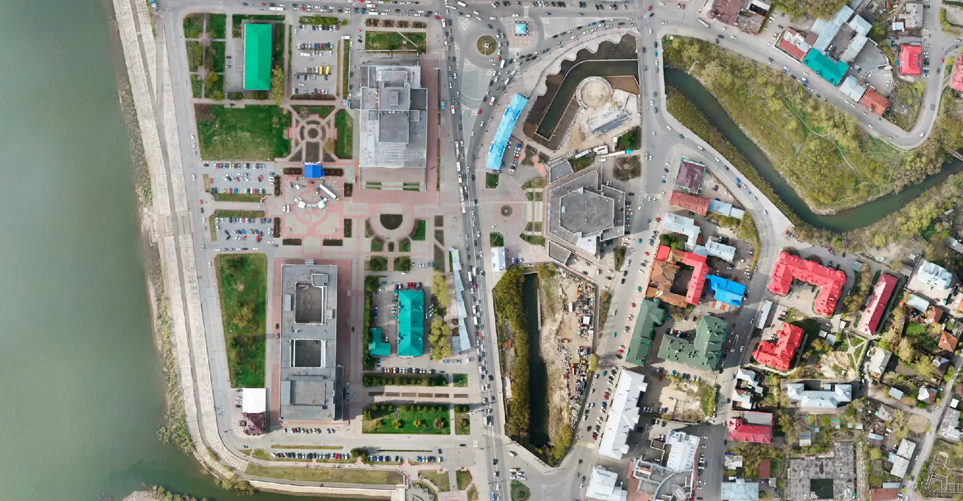
The result of laser scanning with ZALA VLS is a point cloud with a measurement density of more than 200 points per square metre and an accuracy of up to 1 cm in plan and height. VLS data are used to create digital elevation and terrain models, orthophotomaps, topographic plans, virtual twins of objects, infrastructure and cities.
Airborne laser scanning is used in the oil and gas industry for engineering and topographic surveys, in the power industry for passportisation, monitoring of power lines and determining the level of overhang of wires, to monitor the progress of construction work, as well as to inspect the condition of railways and other infrastructure.
Airborne laser scanning technology is applied in the largest organisations of the fuel and energy complex such as PJSC Rosneft, PJSC Gazprom, PJSC Gazprom Neft, PJSC NGK Slavneft, PJSC Novatek and others.