
Intelligence is not in a hurry. Intelligence understands
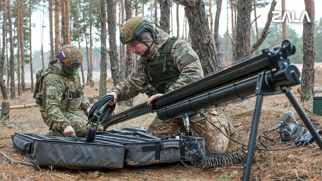
Reports from the ZALA «Lancet» Command and Control Unit of the «Centre» Army Group on its combat operations using ZALA Z-16 reconnaissance UAVs – in the latest instalment of the column #operators.
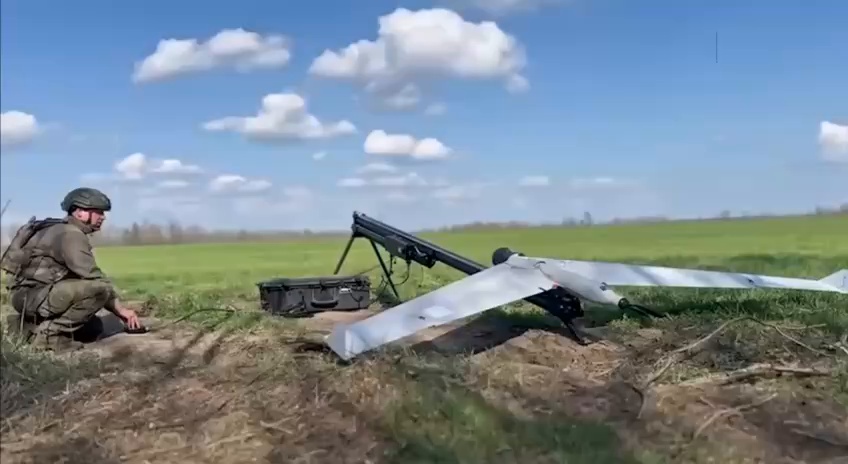
The ZALA Z-16 reconnaissance UAV is an impressively large unmanned flying wing launched from a catapult. Every sortie by this aircraft spells trouble for the enemy. Here is what Anton, commander of the reconnaissance and strike platoon, has to say about it:
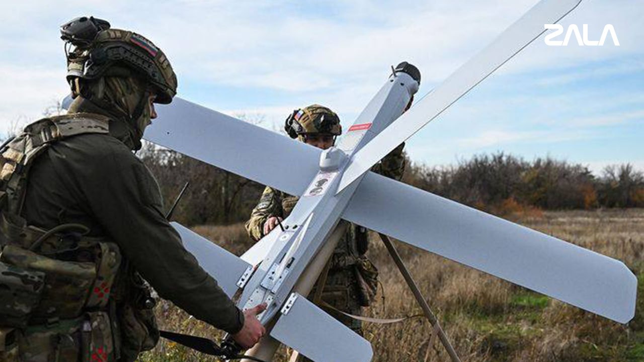
Our main tasks are reconnaissance and objective control of bombing and assault strikes. We identify a wide variety of targets: artillery positions, temporary deployment points, firing points, and various armoured vehicles. We often reveal ammunition supply routes. Then, a «Lancet» or shells from our artillery units are dispatched to rectify this misunderstanding.
"After this, objective damage assessment is carried out," the commander continues. "This is also an element of reconnaissance. Its significance is very high. The point of all this filming is not to later post it on a Telegram channel or show it on television. Each recording is analysed. The final result of the strike and the totality of all of them, taken together, is determined. This information shows the damage the enemy has sustained and how much their combat capability has been reduced. In short, objective assessment is more than just confirming the destruction of detected targets. It helps senior commanders in making further decisions.".
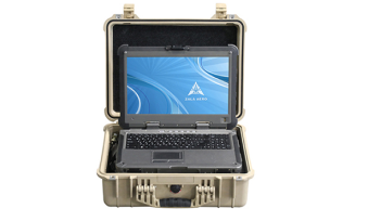
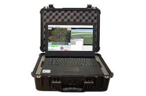
The ZALA Z-16 is operated by two operators. One carries out reconnaissance and remains in constant contact with the commanders, relaying the coordinates and nature of the targets detected. The second operator’s task is to determine the drone’s current position and follow the specified route. This has to be done the old-fashioned way, as the vehicle is not equipped with any navigation systems. The lack of satellite navigation is not a drawback. Here is what Artem, a ZALA Z-16 operator, has to say on the matter:
– GLONASS or GPS modules aren't intentionally installed here. They also use radio waves. Why would we need extra radiation? Furthermore, the enemy uses electronic warfare systems, which would easily jam navigation. We can't rely on it. We have to navigate as before – by flight speed and time, and by local landmarks. It's particularly convenient to use linear landmarks: roads, long shelterbelts, power lines, and riverbeds. You learn this very quickly, although at first glance, it seems quite difficult to do through a camera.
According to the operator, the ability to navigate confidently not only helps to successfully detect and transmit the coordinates of enemy targets but also to save the drone in a dangerous situation for it:
When a threat arises, it's necessary to quickly move the drone to another square. It would be advisable to beforehand clarify which landmarks and where you'll need to go to avoid getting lost. Currently, Ukrainians are increasingly using interceptor drones. They are smaller and faster, leaving no time for reflection. You need to react immediately. However, their battery life is significantly less than ours. This allows you to wait in another square until it discharges, and then return to complete the assigned task.
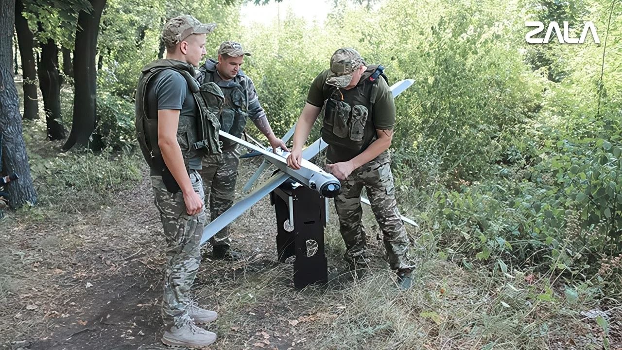
These tasks are performed regularly. In a single day, the unit's reconnaissance drones make several sorties, leading with them «Lancets» which, with machine precision, destroy identified enemy targets.
According to the newspaper «Ural Military News» of September 12, 2025, No. 78



 Russian
  English