Digital geological exploration: ZALA UAVs have mapped Yamal's magnetic anomalies
ZALA specialists together with scientists from the Institute of Oil and Gas Geology and Geophysics of the Siberian Branch of the Russian Academy of Sciences completed an operational geological survey of the northern region. The project enabled the creation of a detailed map of the Earth's magnetic field anomalies covering an area of over 1,500 square kilometres on the Yamal Peninsula, which will help identify promising areas for hydrocarbon and other mineral extraction.
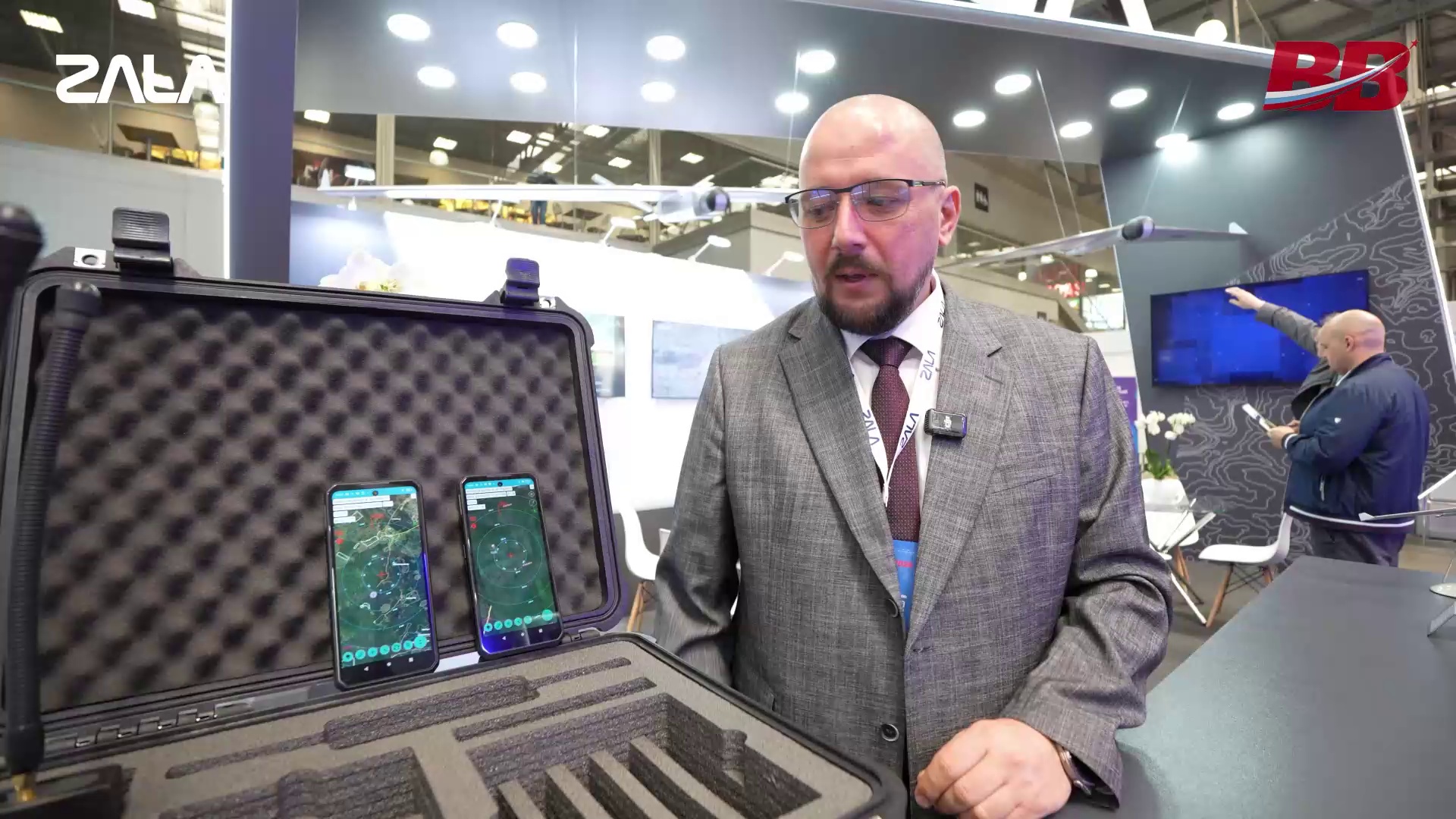
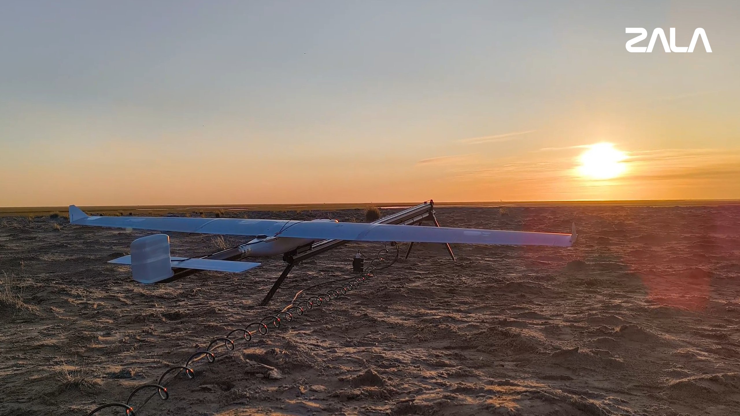
The research was carried out using of the ZALA aeromagnetic software and hardware system based on the ZALA T-20 aircraft-type UAV. The key component of the complex is a highly sensitive certified magnetometer, which allows for high precision detection of anomalies in the Earth's magnetic field, indicating potential resource deposits.
The use of unmanned technology has significantly increased the efficiency of work. An important competitive advantage of the method is the possibility of automated processing of aeromagnetic survey data, which is performed directly during the flight of the UAV, which allowed scientists to promptly obtain preliminary results of geological exploration and adjust research plans.
The introduction of ZALA's unmanned technologies is in line with the global trend towards digitalisation of the exploration industry and cost reduction in the development of new fields.